
Schools and many businesses will be closed, but if you have travel plans for Saturday you should be aware that driving could be a bit dicey due to winter weather that’s forecast for our area, including up to 5 inches of snow.
The National Weather Service in a winter weather advisory issued for Lehigh and Northampton counties said 2 to 4 inches of snow is expected to fall across the Lehigh Valley and adjacent areas, including Upper Bucks County.
“Snow is expected to develop from late morning into the afternoon on Saturday,” the advisory statement said. “The heaviest snow will likely occur from mid to late afternoon. Snow may mix with sleet or rain by early Saturday evening before tapering off overnight.”
And whatever frozen precipitation falls likely won’t be melting very soon.
According to the latest NWS five-day forecast for Hellertown, after Sunday temperatures aren’t forecast to rise above freezing again until Thursday.
In their first call forecast for Saturday’s storm, Lehigh Valley Weather Authority shared a map which puts most of the Lehigh Valley in a zone where 3 to 5 inches of snow is forecast to fall.
Forecaster Tony Luchini said he will release a final call forecast for this weekend’s storm Friday afternoon, but he doesn’t expect it to change much.
Although the snow may mix with sleet at times, he said he expects most of the area to remain within the frozen precipitation shield, with “plain rain…limited to areas south of Quakertown.”
For Lehigh Valley Weather Authority’s latest forecast updates, be sure to follow them on Facebook.
Each week Tony also shares his 5-day local forecast on our No Rain Date podcast, so be sure to subscribe to it here on Saucon Source and on Apple Music, Google Play, Spotify, Stitcher, Tunein and elsewhere.

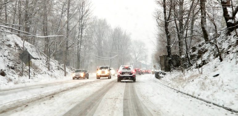
Traffic moves along a snow-covered Rt. 378 in Lower Saucon Township in February 2019. (FILE PHOTO)