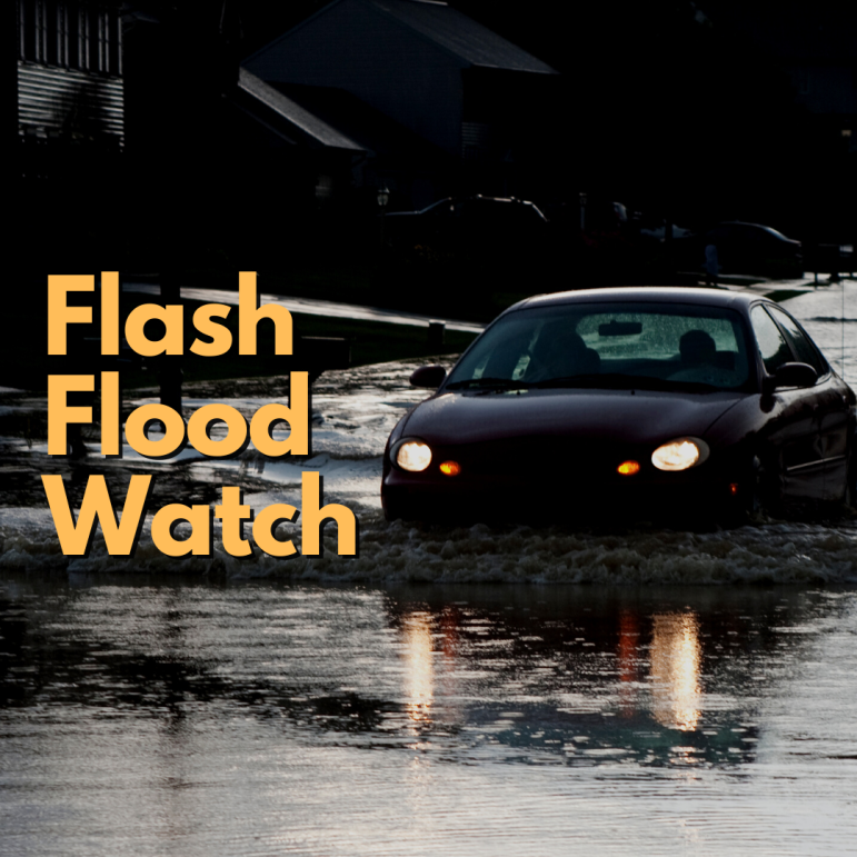
When flooding is imminent or occuring, police advise motorists never to drive through areas of standing water, because as little as a foot of water can float some vehicles, Most drownings occur in vehicles, which is why many U.S. public safety agencies have adopted the slogan “Turn around, don’t drown” for use in flood-related public service announcements. The Lehigh Valley is under a flood watch from 5 p.m. Monday through 12 p.m. Tuesday.
A hot, dry Labor Day weekend was set to come to a wet end Monday, with heavy rain in the forecast and a flood watch in effect for Lehigh, Northampton and upper Bucks counties.
The abrupt change in this summer’s prevailing meteorological pattern–which has put much of eastern Pennsylvania under a drought watch–no doubt surprised residents, who since June have seldom had to worry about wet weather dampening their plans.
The rain, however, is likely a welcome change for farmers and others who need a steady supply of water in order to stay in business.
Flood Watch in effect from 5 p.m. Monday to 12 p.m. Tuesday
According to a statement that accompanied the National Weather Service flood watch, heavy rain and and isolated thunderstorms are expected to develop across the watch area early Monday evening and overnight Monday, continuing into Tuesday morning.
“A stationary boundary draped across the Northeast and central Appalachians will provide a focus for more organized and slow-moving thunderstorm activity,” a forecast discussion published by the NWS Prediction Center in College Park, Md., said. “As a result, flash floods are increasingly likely over northeast Pennsylvania, where a Moderate Risk (level 3/4) of Excessive Rainfall has been issued.”
Carbon, Monroe, Berks and upper Montgomery counties in Pennsylvania, and Warren, Hunterdon and Somerset counties in New Jersey are also under the flood watch.
“Rainfall rates of 1 to 2 inches per hour are possible,” the NWS said. “This may result in flash flooding of urbanized and low-lying areas, despite recently dry conditions…”
“Excessive runoff may result in flooding of rivers, creeks, streams…and flood-prone locations,” the weather statement said. “Flooding may occur in poor drainage and urban areas. Storm drains and ditches may become clogged with debris.”
Along with the rain, cooler temperatures are in the near-term forecast for the Lehigh Valley.
Sunday’s high was an unseasonable and sultry 89 degrees, but Tuesday and Wednesday’s high temperatures are forecast to be cooler: just 72 degrees and 73 degrees, respectively.
By later in the week, sunny skies and near-normal highs in the low to mid 80s will return, according to the latest forecast.
Residents of eastern Pennsylvania should continue to follow local media and weather reports for updates on this developing weather event.
