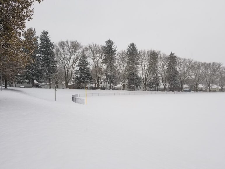
A developing winter storm could bring more snow to the Saucon Valley than was forecast just a day ago.
Lehigh Valley Weather Authority has increased their predicted snowfall totals for the area from 1 to 3 inches to 3 to 6 inches.
“Models have been on the up and up,” Tony of LVWA said in a Facebook post Monday. “Typically, clipper (systems) dry out as they cross west to east across Pennsylvania. However, in this case, the clipper restrengthens as it crosses the mountains, and even redeveloping as a weak coastal, and in turn it stalls over Eastern PA. This allows precipitation to backbuild and rotate over the area.”
The snow is expected to be light and intermittent from about 7 a.m. til 3 p.m. Tuesday, with about an inch off snow expected before it becomes moderate and steadier in the mid-afternoon.
Early dismissals or even closings by area schools are possible Tuesday, Lehigh Valley Weather Authority predicted.
Pennsylvania Weather Action, in a mid-day Facebook post, said they “will likely be increasing snowfall amounts for many areas in central and eastern PA for Tuesday’s event” and encouraged followers to “stay tuned for our updated forecast at 5 p.m.”
The National Weather Service has yet to change its forecast snowfall totals for Tuesday.
In a hazardous weather outlook Monday, it said “snow is likely from Tuesday into Tuesday evening, with accumulations of 1 to 3 inches expected.”
Further north, it is predicting that 2 to 4 inches will accumulate across the Poconos and northern New Jersey.
