Hellertonians Want to Know: ‘How Much Snow Are We Getting?’
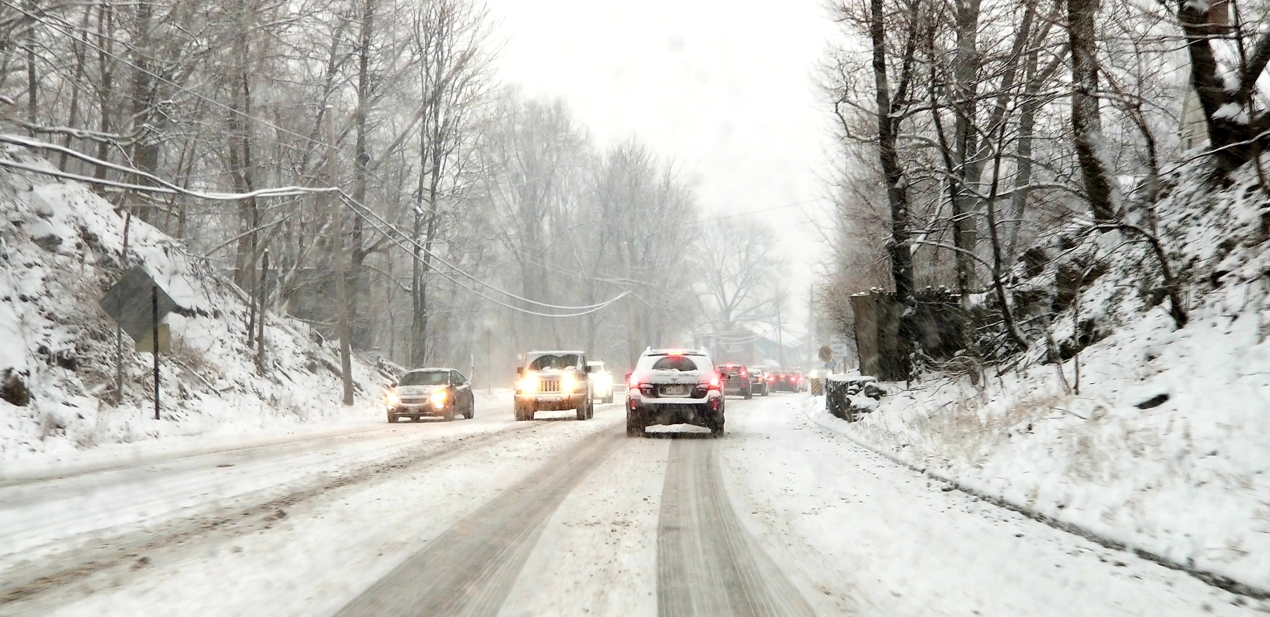
How much, how long and how far this way or that way? A frequent topic of conversation around Hellertown Saturday was the weather forecast for Sunday and Monday, when winter weather is supposed to affect the area for the first time this season.
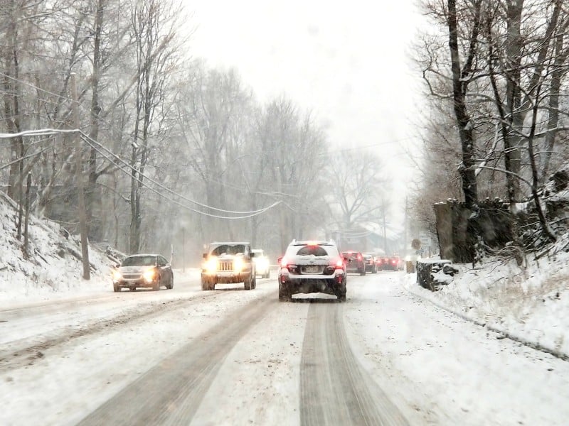
How much, how long and how far this or that way? Or, put a different way, how many loaves of bread, gallons of milk and cartons of eggs should be stockpiled? A frequent topic of conversation around Hellertown Saturday was the weather forecast for Sunday and Monday, when snow is expected to impact the area for the first time this season.
Forecasters have backed away from an earlier scenario that called for 4 to 8 inches of snow, however a winter weather advisory has been issued for the National Weather Service for Sunday and Monday for Upper Bucks, Northampton and Lehigh counties.
According to the advisory, although less in the way of frozen precipitation is now expected, the period during which it is forecast to fall will still be at least 36 hours in length.
“This will be a long duration storm with two main periods of winter weather,” the NWS said. “Conditions on Sunday are expected to consist of a mix of snow, sleet and ice, with snow accumulations (of) mainly an inch or less. A lull in precipitation is possible Sunday evening. Most of the snow that is forecast is then expected to occur later Sunday night and Monday.”
Areas to the north and east, some of which are under winter storm warnings, are forecast to receive higher amounts of snow. For example, Mount Pocono in Monroe County could see as much as 11 inches of snow, according to the National Weather Service’s forecast.
Most schools are closed Monday as part of the Thanksgiving recess, which means that no matter what happens with the weather traffic will be lighter than normal on local roads.
However, travel plans for some people returning home from Thanksgiving trips may be disrupted due to the timing of the storm.
Lehigh Valley Weather Authority, a local Facebook and web-based forecasting service, is now putting most of the Lehigh Valley area in a zone where it says 2 to 4 inches of snow could accumulate on Monday, after the first part of the storm deposits a coating to a tenth of an inch of ice.
Precipitation will surely have ended by the time Saucon Source’s next No Rain Date podcast is published on Wednesday, Dec. 4, however we will no doubt spend some time talking about what snow fell (or didn’t fall) as part of this first round of winter weather.
We are also excited to announce that Lehigh Valley Weather Authority owner Tony Luchino has joined our podcast to provide listeners with the forecast for the week ahead.
Be sure to subscribe to No Rain Date for weekly Saucon Valley news and weather updates as well as in-depth interviews with the people who are making news in our community.
Author