Some Winter Weather Expected Monday, Tuesday…But What, Where?
A couple of winter weather systems are expected to affect the Lehigh Valley Monday and Tuesday, with a break in the action in between them. What falls on either side of that break is forecast to be frozen, but what form it takes, and the forecast for where it falls is subject to interpretation.
A couple of winter weather systems are expected to affect the Lehigh Valley Monday and Tuesday, with a break in the action in between them. What falls on either side of that break is forecast to be frozen, but what form it takes, and the forecast for where it falls is subject to interpretation.
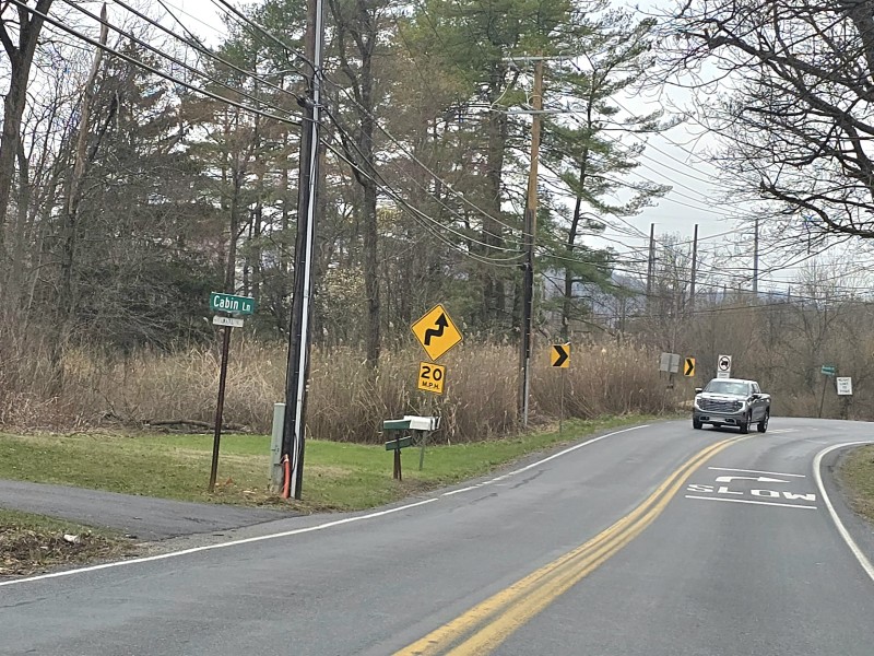
The first system could bring light snow to Saucon Valley overnight tonight, which could affect Monday morning’s commute, according to a National Weather Service hazardous weather outlook published around 4 p.m. Sunday.
Total snow accumulation of 1 to 2 inches is possible, according to the NWS’s latest forecast for Allentown.
Beginning Monday night, additional winter weather is possible.
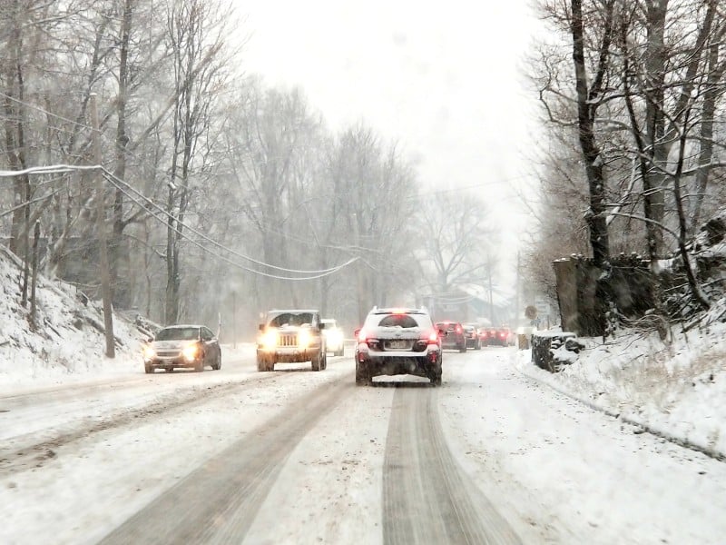
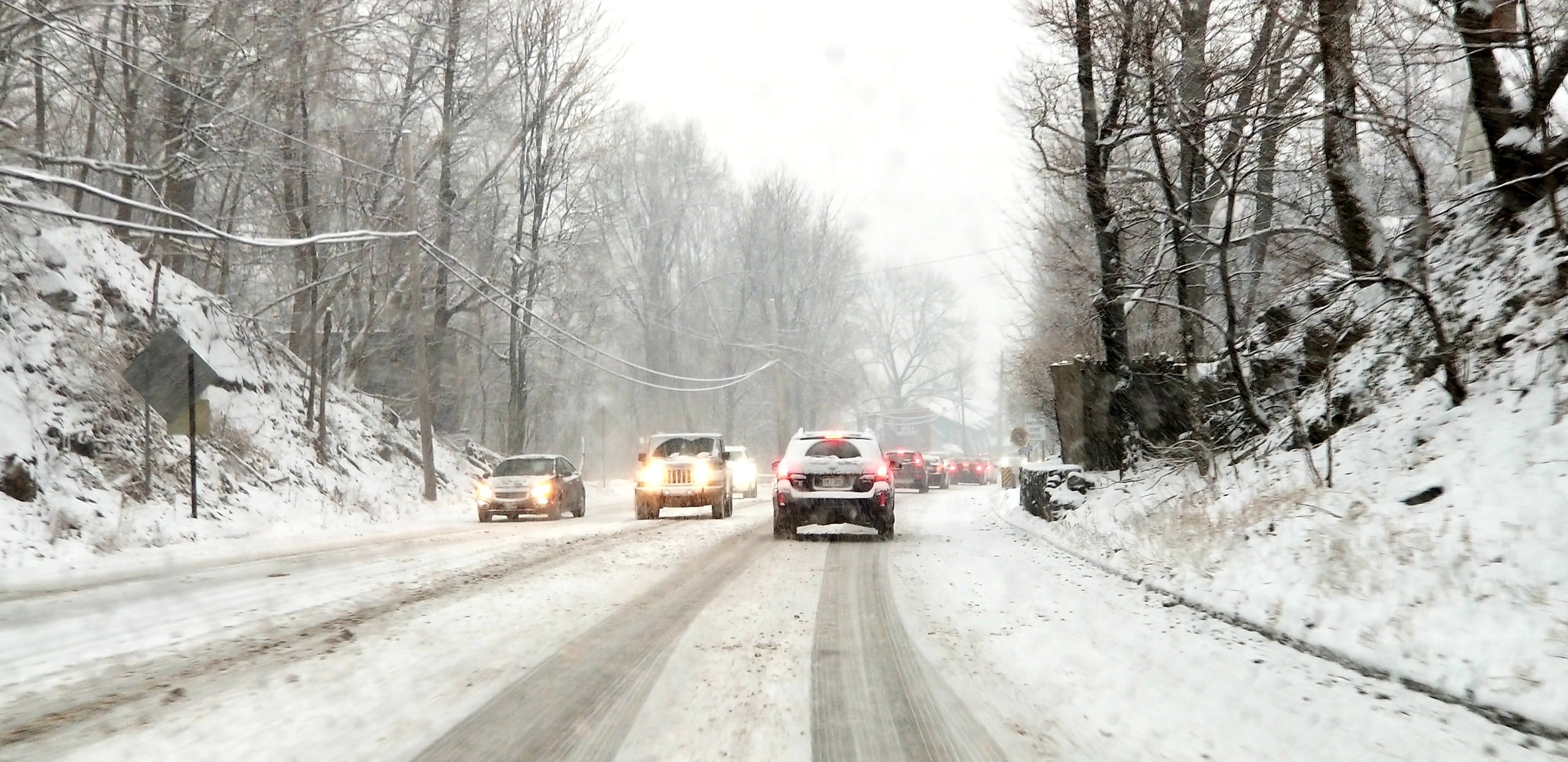
Snow will change to sleet and freezing rain Tuesday, and the freezing rain may change to rain along and south of I-78, the NWS said Sunday.
The precipitation is expected to come to an end on Tuesday night, but before that it “will likely affect the morning and evening commutes on Tuesday,” the hazardous weather outlook stated.
No winter weather advisories or watches have been issued for the Lehigh Valley and Upper Bucks County, but the National Weather Service has issued a winter weather advisory for the Philadelphia metropolitan area for 10 p.m. Sunday through noon Monday.
To the north of the Lehigh Valley, it has issued a winter storm watch for Carbon and Monroe counties for heavy mixed precipitation between late Monday night and late Tuesday night, noting that “total snow accumulations of 5 to 7 inches and ice accumulations of up to one quarter of an inch (are) possible.”
The lack of any watches or advisories for east central Pennsylvania is possibly explained by a weather briefing issued by the National Weather Service office at Mount Holly, N.J., Sunday afternoon, which states that “overall forecast confidence is below normal for snowfall totals.”
Although a forecast snowfall total map shows a swath of 4 to 6 inches across the Lehigh Valley, “the timings of transitions between snow, ice and rain will dictate snow totals,” the briefing stated. “Timing differences in transitions of only 2 to 3 hours could nearly double or halve these totals.”
“School cancellations are likely Tuesday, as roads will be hazardous from the late evening hours of Monday through Tuesday evening,” lead forecaster Chris Corrigan wrote. “Also watch out for slick roads tonight (Sunday night),” he added.
Author