Wintry Weather Wednesday Could Affect Travel, School
On the heels of a storm that dropped snow and then freezing rain on the Saucon Valley on Super Bowl Sunday, another approaching winter storm is expected to bring a combination of snow, ice and possibly rain to the region Wednesday, when it will potentially affect travel and school.
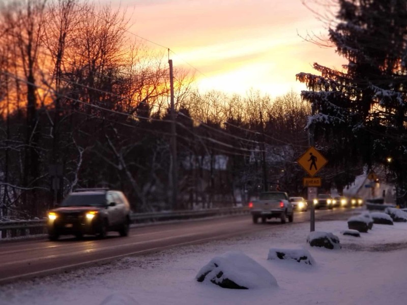
On the heels of a storm that dropped snow and then freezing rain on the Saucon Valley on Super Bowl Sunday, another approaching winter storm is expected to bring a combination of snow, ice and possibly rain to the region Wednesday, when it will potentially affect travel and school.
The National Weather Service in a hazardous weather outlook issued for Northampton and Lehigh counties Monday afternoon said that although precipitation types are still uncertain, “most of the region is likely to see snow late Tuesday night into Wednesday morning before (a) transition to a wintry mix during the late morning and afternoon hours.”
“The Wednesday morning commute will likely be impacted by the wintry weather,” the NWS stated.
“Those areas that do not change over to a mix or rain will receive a significant amount of snow,” wrote Pennsylvania Weather Action lead forecast Chris Corrigan in a “First Call” post about the storm published Monday afternoon.
Corrigan said areas along and north of Interstate 80 in Pennsylvania “will have the best chance of remaining all snow.”
“For some areas it will likely be the biggest snowfall of the season,” he added.
According to Corrigan’s first call forecast map, most of the Lehigh Valley area could see 2 to 4 inches of snow before a period of sleet and freezing rain, followed by rain.
In the Lehigh Valley, “the worst travel conditions will be during Wednesday morning into the early afternoon,” when a burst of heavy snow is possible, the update states.
Much of Carbon and Monroe counties could receive 4 to 6 inches of snow, while the northern tier of Pennsylvania could see 6 to 10 inches, with hazardous travel conditions expected all day Wednesday according to PA Weather Action.
Area residents should continue to monitor the latest local weather forecasts for developments on this approaching winter storm.
Author