Heat Advisory, Flood Watch in Effect
July’s hot and stormy weather pattern is continuing across eastern Pennsylvania, where the National Weather Service has issued both a heat advisory and a flood watch for the Lehigh Valley and surrounding areas.
The flood watch is in effect until 3 a.m. Thursday and includes Northampton, Lehigh and upper Bucks counties. According to a NWS statement, 1 to 2 inches of rain is possible from thunderstorms Wednesday evening, with isolated amounts of 2 to 4 inches also possible. The advisory statement said that much rain could trigger flash flooding, particularly in flood-prone areas.
That’s what happened in parts of Center Valley and Saucon Valley Monday evening, when slow-moving storms dumped as much as half a foot of rain. Sections of roads such as Rt. 309 and Limeport Pike were flooded by the torrential downpours.
On Thursday, there will be another chance of thunderstorms and showers, particularly between 5 and 8 p.m., according to the latest forecast. Throughout the day the heat index could also be an issue for anyone spending time outside.
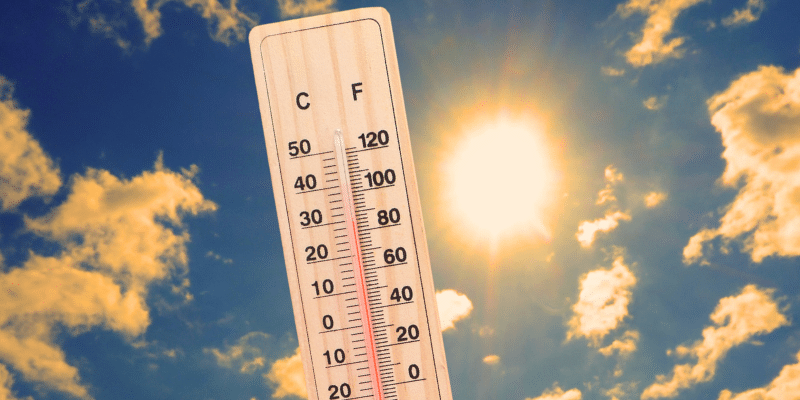
According to a NWS heat advisory for the area, due to high humidity and temperatures approaching 90 degrees, it will feel more like 100 degrees.
To prevent heat-related illnesses, people working or recreating outdoors should stay hydrated and take regular breaks. The NWS also advises wearing lightweight, loose-fitting clothing and utilizing air conditioning when possible.
The heat advisory is in effect from 10 a.m. to 8 p.m. Thursday.
After Thursday, a period of slightly cooler, more settled weather is in the forecast. High temperatures are expected to be in the low to mid 80s through early next week. The greatest chance of precipitation will be Saturday night through Sunday night, when rounds of showers and thunderstorms will be possible.

Author