
Snowfall Totals Upped for Thursday’s Storm, Scattered Power Outages Possible
With a track that will bring it slightly further west, the powerful Nor’easter that’s bearing down on the Mid-Atlantic region and New England is now forecast to affect the Saucon Valley area in a bigger way.
With a track that will bring it slightly further west, the powerful Nor’easter that’s bearing down on the Mid-Atlantic region and New England is now forecast to affect the Saucon Valley area in a bigger way than was predicted less than 24 hours ago.
The National Weather Service has issued a winter weather advisory for 2 to 4 inches of snow–including blowing snow–which it said could impact Thursday morning’s commute by creating reduced visibility among slippery conditions.
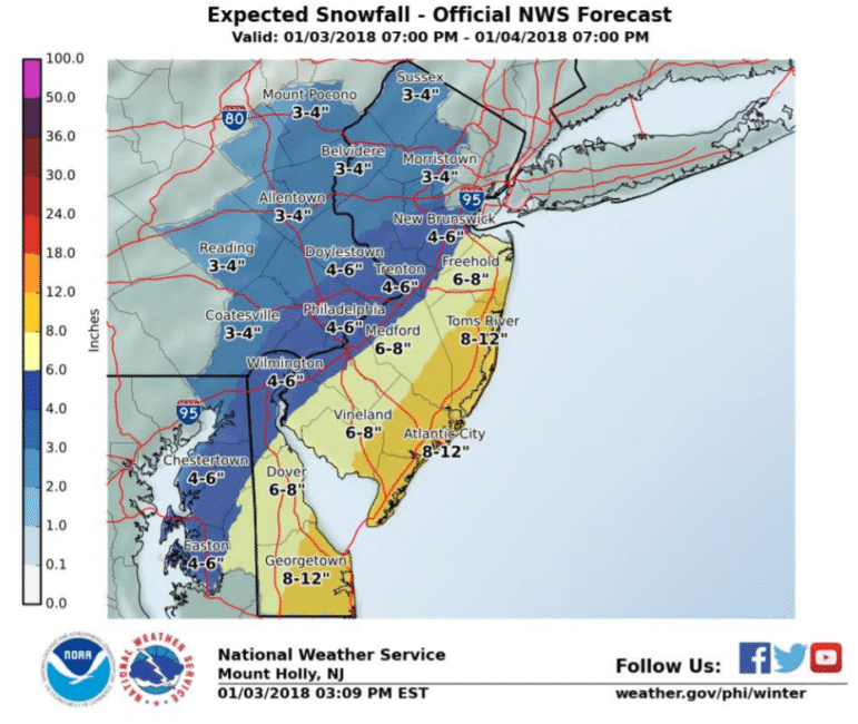
The advisory is in effect from 9 p.m. Wednesday through 7 p.m. Thursday.
“Winds gusting as high as 40 mph will cause areas of blowing and drifting snow,” the NWS said. “Scattered power outages could develop Thursday and Friday which would force considerable hardship where heat would not be available.”
That’s because temperatures–which are already unusually cold for this time of year–are forecast to drop dramatically in the storm’s wake.
Friday’s high is forecast to be 12, with a low of 2, and Saturday’s high is forecast to be 9, with a low of -2.
Weather site Pennsylvania Weather Action has issued a “final call forecast” for the storm that is similar to the National Weather Service’s.
“The peak of this storm will be right around rush hour Thursday morning,” lead forecaster Josh Adams wrote in his Wednesday afternoon update. “If you have to go to work in the morning, please be prepared. School cancellations are likely.”
Points south and east of the Lehigh Valley–including Philadelphia and New York, where winter storm warnings are in effect–are expected to receive as much as six inches of snow. Further east, along the Jersey shore, on Long Island and in much of eastern New England, blizzard conditions are expected.
In those areas, “blizzard conditions are expected with winds gusting up to 50 mph,” according to the PA Weather Action forecast. “Widespread power outages are likely (and) travel will be impossible at times.”
Popular buzzwords already associated with the developing storm and being heavily used across social media platforms include “bombogenesis” (which, according to the NWS, is a descriptive term for a mid-latitude cyclone that “rapidly intensifies, dropping at least 24 millibars over 24 hours”) and “blizzicane” (a portmanteau of the words “blizzard” and “hurricane”).
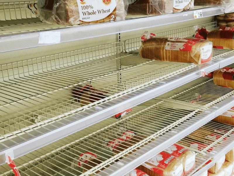
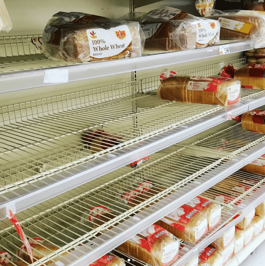
Locally, as many of these buzzwords were circulating and before updated forecasts were even issued, grocery stores were crowded as shoppers snatched up essentials like milk, bread and eggs before the storm arrives.
Municipal public works department employees were kept busy pre-treating roadways with a salt brine solution that helps melt snow upon contact.
Stay with Saucon Source for updates on this developing winter weather event. Like us on Facebook, follow us on Twitter and Instagram and subscribe to our email newsletter.
Author