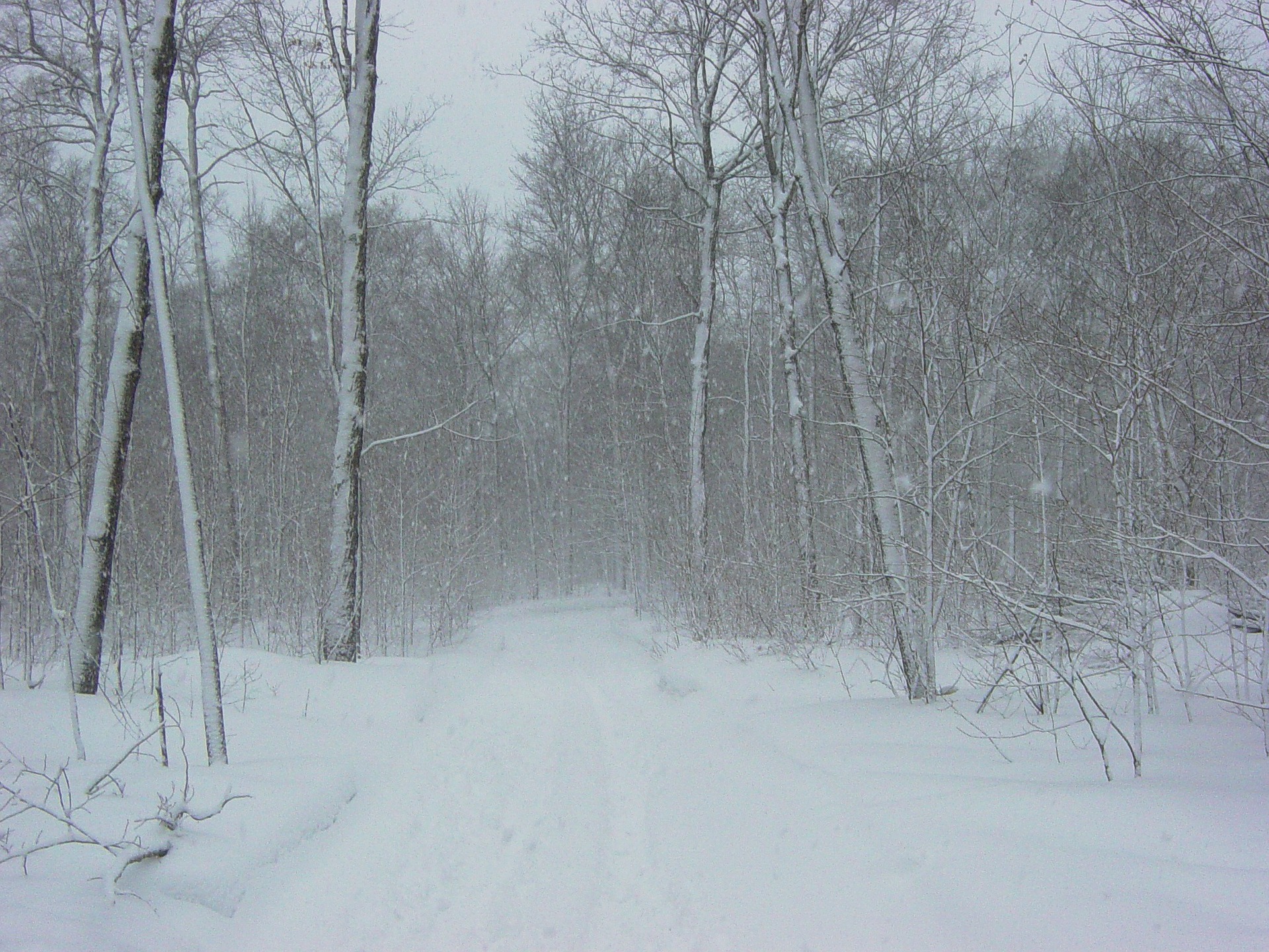
“Where is winter?”
Many local snow lovers were disappointed over the weekend, when a winter storm that initially appeared as if it might deliver some white stuff to the powder-starved Lehigh Valley took a southern route, dropping only a dusting across most of the area.
But our meteorologically uneventful January–so far–may be about to change, and sooner than you might think, according to some weather forecasters.
Uncertainty remains, but EPAWA Weather Consulting owner and meteorologist Bobby Martrich said Monday in a daily forecast discussion for the Lehigh Valley that “a weak system may bring light snow and snow showers on Thursday night into Friday morning.”
“This looks like another modest 1-3″/2-4″ type of snowfall, but amounts are not definitive at this range,” he added.
Over the weekend, there is a chance that the Northeast could be impacted by a more significant winter storm.
“Models are all over the place right now, but there is a clear and strong signal for some type of large storm system along the East Coast,” a tweet by the Connecticut-based weather company WeatherOptics said. At around the same time as the storm could develop, “very cold air” is expected to break away from the polar vortex and slide south into the central and eastern U.S.
Factors like the phasing of the jet stream and the location of a high pressure system across parts of the north-central U.S. and northeastern Canada will ultimately help to determine whether a winter storm forms and where it heads, wrote forecaster Joshua Feldman in a “Sunday Storm” discussion on WeatherOptics.net.
If the high pressure system is “too strong and positioned too far south, the storm would be kicked out to sea and snow would never reach the Northeast,” Feldman said. “Too weak and positioned too far northwest, (and) the storm would curve northeast too early and allow warm air to prevent rain from changing over to snow.”
“There is a lot of uncertainty regarding the evolution of the pattern-changing storm,” he concluded. “It is still too early to tell where exactly the heaviest snow will fall, but heavy snow is more likely to impact the Northeast than (with) the most recent cross-country winter storm.”
He added that, “regardless of impacts from the weekend storm, cold air will invade the Eastern U.S. on or about Jan. 20, and it appears like it will stick around for a while.
Martrich’s conclusion was similar.
A “potentially more potent winter storm may affect the region from later Saturday or Saturday night through the day on Sunday,” he wrote. “This one is currently modeled to be quite impactful on several models and ensembles, and we will certainly stay on top of this throughout the week. Precipitation type could vary, but wintry precip is currently favored over rain. Stay tuned…”
To view the National Weather Service for Hellertown for this week, click here.


