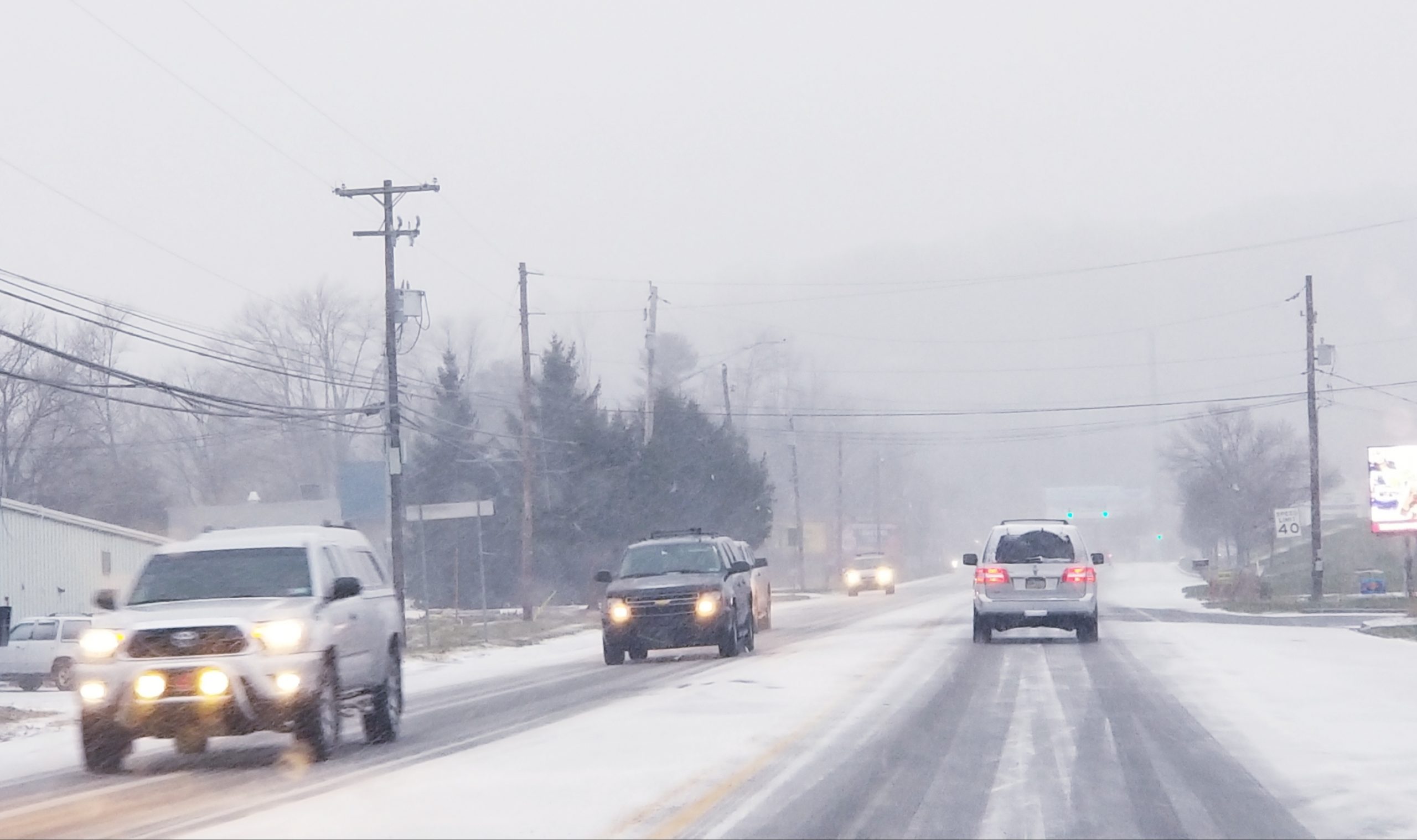
Northampton County is under a winter storm watch from the National Weather Service for 8 to 12 inches of snow Sunday night and Monday.

A National Weather Service map displays possible snowfall totals from a winter storm that could affect the Lehigh Valley Feb. 1-2, 2015.
According to a NWS update posted at 10:22 a.m. Saturday, snow is expected to overspread the Lehigh Valley Sunday evening and “should become moderate to heavy at times overnight Sunday and Monday morning.”
The possibility exists that the snow will mix with or change over to sleet or freezing rain around daybreak Monday.
Assuming the forecast doesn’t change, motorists should expect hazardous travel conditions Sunday night and Monday, “with the potential for a significant impact on the Monday morning commute,” the National Weather Service said.
However, there is the potential for change.
In a Facebook post, the National Weather Service office at Mount Holly, N.J., said the exact track of the system will determine who gets snow, who gets rain, and who gets a mixed bag of precipitation.
“If the system moves farther north, more of a mix/rain will occur across the region,” the udpate said. “If it heads farther south, then a mostly snow event should occur.”
A Winter Storm Watch means there is the potential for significant snow, sleet, or ice accumulations that may impact travel.
Area residents should continue to monitor the latest weather forecasts throughout the weekend.

Graphics provided by the National Weather Service office at Mount Holly, N.J., show the potential impact of a Feb. 1-2 winter storm on southeastern Pennsylvania and New Jersey.


