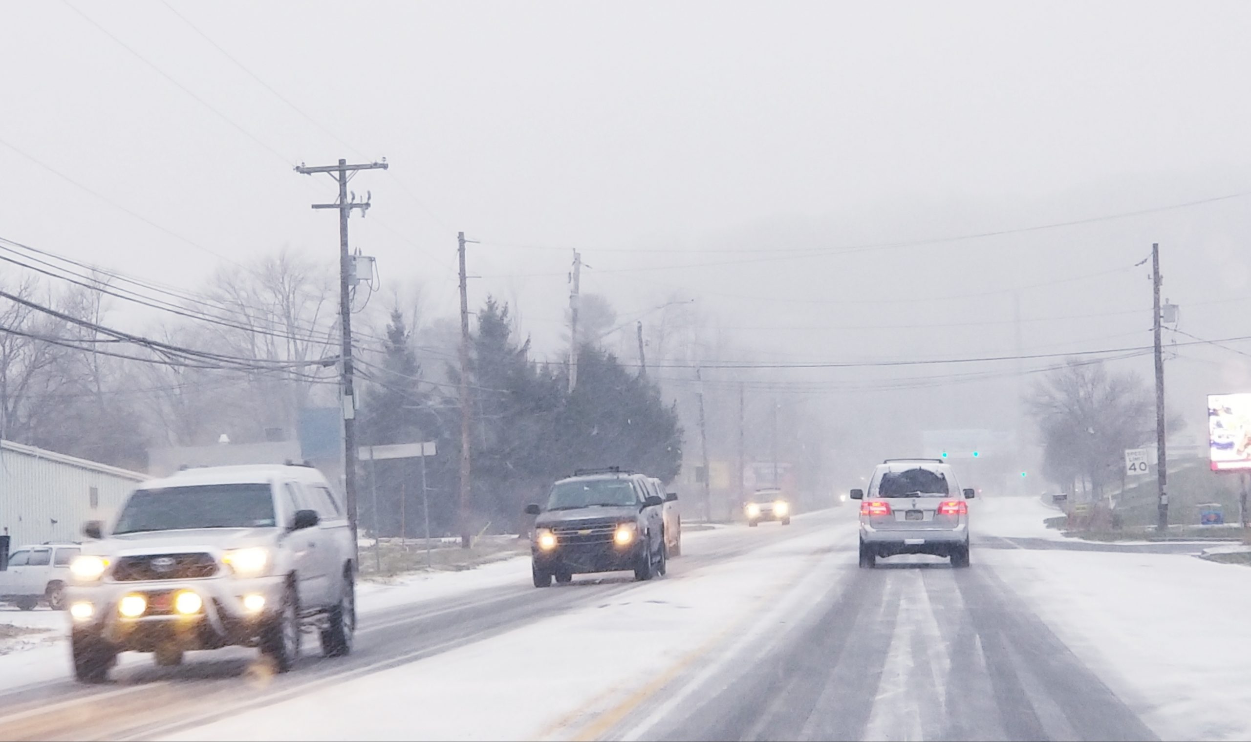
After a winter that so far has generallly been characterized by milder than normal temperatures and the absence of snow, many forecasters agree that there’s an opportunity for a major snowstorm to affect the Saucon Valley area this weekend.
The National Weather Service Monday issued a special weather statement in which it said a “significant snow event is likely from late Friday through Saturday night. In addition to the accumulating snow, gusty winds could cause additional issues with blowing snow.”
In a post on their Facebook page Monday, Eastern PA Weather Authority meteorologists commented that “all eyes are on the late week potential for a significant snowfall, but (the) devil’s in the details with track and impacts, and we will iron that out over the next 48 hours. For now, Godzilla storm mode is stirring, but stays off the page.”
On their website forecast page for east central Pennsylvania, EPAWA “it is too early to make a call with amounts, which will be track dependent” but “someone in the mid-Atlantic region could see a significant, or perhaps major snowfall.”
The Facebook forecast page Greater Philadelphia Severe Weather said late Sunday that a forecast model used by meteorologists to predict precipitation amounts (the GFS) showed a widespread area in southeastern PA receiving a 1-2 foot snowfall.
“This is NOT our forecast, but we are seeing large agreement within this snow total amount,” they cautioned. “Over the next 24 hours we are going to keep you posted on this storm. Our first official call will come out Tuesday evening.”
Area residents should continue to monitor weather forecasts in the next few days.


