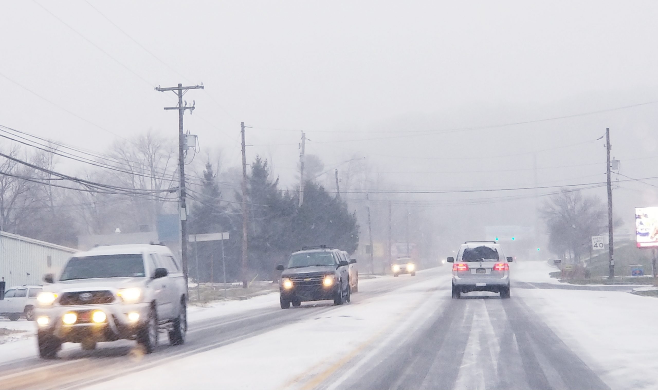
A Jan. 2, 2018 snowfall forecast map from the National Weather Service shows the potential amounts a Nor’easter is currently predicted to deposit in parts of eastern Pennsylvania and New Jersey.
It’s likely that some amount of snow will fall in Saucon Valley Wednesday night and Thursday as a huge and developing storm roars up the East Coast toward New England, but whether it’s a trace amount or several inches–or even more–remains uncertain.
Most weather forecasters–including the National Weather Service–are predicting that less than an inch of snow will fall in the Lehigh Valley as a result of the powerful Nor’easter, while points not far to the east could see significantly more of the white stuff.
However, a slight shift westward in its track could dramatically alter the snowfall amounts in eastern Pennsylvania and western New Jersey, forecasters agree.
Winter storm watches have been issued for counties along the Jersey shore, where 4 to 6 inches was forecast to fall as of Tuesday afternoon.
Across the Philadelphia metro region the NWS is calling for 1 to 3 inches of snowfall, “with a sharp cutoff…expected somewhere across the region.”
The NWS’s High End Potential snowfall map takes into account a westward shift of the storm. There is only a 10 percent chance such a shift will occur, the NWS said, but if it does move in that direction southern parts of the Lehigh Valley could receive 6 to 8 inches of snow and shore points could receive upwards of a foot, according to the map.
After the storm exits the area another round of Arctic air is forecast to invade, with highs in the lower teens and lows around zero Friday and Saturday. Blustery conditions could also create dangerous wind chills.
Area residents should continue to monitor their local weather forecasts for updates on the winter weather system and the cold weather to follow.


