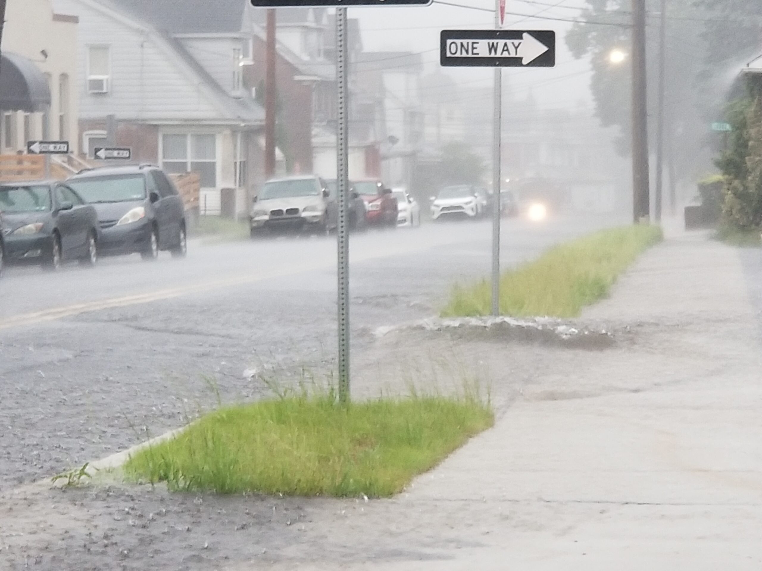
An old-fashioned “gullywasher” was perhaps the best way to describe the weather conditions that were occcurring along Broadway in Fountain Hill, Lehigh County, shortly after noon on Sunday. Torrential rain from showers and thunderstorms could produce more flooding in the area Sunday afternoon, according to the National Weather Service. Some of the storms could also produce gusty winds that could topple tree limbs, the NWS warned.
With heavy rain from showers and thunderstorms inundating the region, the National Weather Service has issued a flood advisory for all of Lehigh, Northampton and Bucks counties through 3:45 p.m. Sunday as well as a flood warning until 7 p.m. for southern Northampton County, east central Lehigh County and north central Bucks County in Pennsylvania and parts of Warren and Hunterdon counties in New Jersey.
Included in the warned area are Bethlehem, Fountain Hill, Hellertown, Easton, Springtown and many other communities where flash flooding could occur if it isn’t already happening, the National Weather Service said in a statement.
“Flash flooding is ongoing or expected to begin shortly,” it announced just after 1 p.m., due to the fact that “between one and two inches of rain have fallen” so far. Additional rainfall amounts of one to two inches are possible in the warned area, which could cause flooding to occur along small creeks and streams, in urban areas, on highways and streets, and in underpasses.
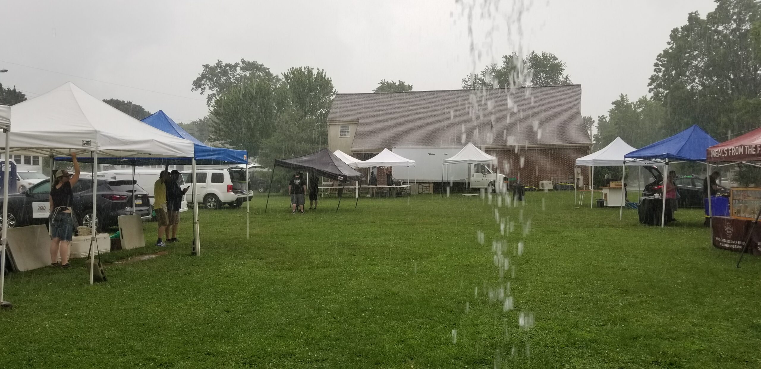
In Hellertown, heavy rain began falling shortly after 11:30 a.m. and led to the early closure of the Saucon Valley Farmers Market, which is normally open Sundays until 1 p.m. The market had planned to close at noon due to the forecast for heavy rain, but the torrential downpour combined with thunder and lightning made it impossible for it to remain open until then.
Other outdoor events that are scheduled for Sunday may also be impacted by the wet weather, which is expected to continue throughout the afternoon.
“Several instances of flooding are expected, with (the) potential for unusually significant or widespread occurrences,” the weather service said Sunday morning.

Torrential rain led to an early closing of Sunday’s Saucon Valley Farmers Market in Hellertown. The market is normally open Sundays from 9 a.m. to 1 p.m. Organizers had planned to close early at noon Sunday, due to the forecast, but closed around 11:30 a.m. due the soaking produced by a heavy thunderstorm. The market is open weekly through late November and is held next to the Hellertown Area Library at 409 Constitution Avenue.
As of 1 p.m., “torrential rain” was falling across much of the area, including parts of eastern Northampton County that were being affected by a severe thunderstorm. Those areas included Riegelsville, Glendon, Easton and Forks Township, a special weather statement from the NWS noted.
Motorists were being urged not to drive through flooded roadways, as the water covering them is often deeper than it appears. Just six inches of fast-moving water is enough to lift some vehicles off the ground.
Due to the fact that most deaths occur in vehicles during flash floods, the slogan “turn around, don’t drown” is often used as a reminder for drivers who may be considering driving through water.
In addition to the flood advisory, a flood watch issued by the National Weather Service remains in effect for Lehigh, Northampton and upper Bucks counties through Sunday evening and a severe thunderstorm watch remains in effect through 6 p.m. for the Lehigh Valley and most of eastern Pennsylvania.
In its flood advisory statement, the NWS said that as of 12:30 p.m., most areas within the affected area had already received between a half inch and one-and-a-half inches of rain.
Much of the flooding that is or will be occurring will be in low-lying areas or areas of poor drainage, however due to the expectation that “widespread rainfall amounts of 1 to 2 inches…with localized amounts of 3 to 5 inches” could fall, ” there is (the) potential for some main stem river flooding due to the excessive runoff,” the NWS said Sunday.
Residents should continue to monitor local weather forecasts and stay tuned to local news reports for updates on the developing weather conditions in the area.

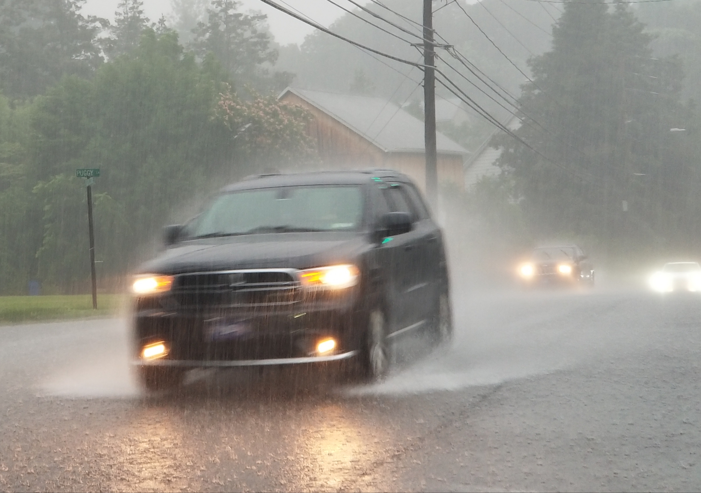
Above, as torrential rain falls, southbound traffic on Rt. 378 moves through the Mountain Drive intersection in Lower Saucon Township at around noon Sunday. The area is under a flood advisory until 3:45 p.m. Sunday.


