Flash Flood Warning Issued for Saucon Valley, Southern Lehigh Areas
The skies opened up and unleashed a deluge on the Saucon Valley and Southern Lehigh areas Saturday afternoon, prompting the National Weather Service to issue a flood warning that remains in effect until 6 p.m.
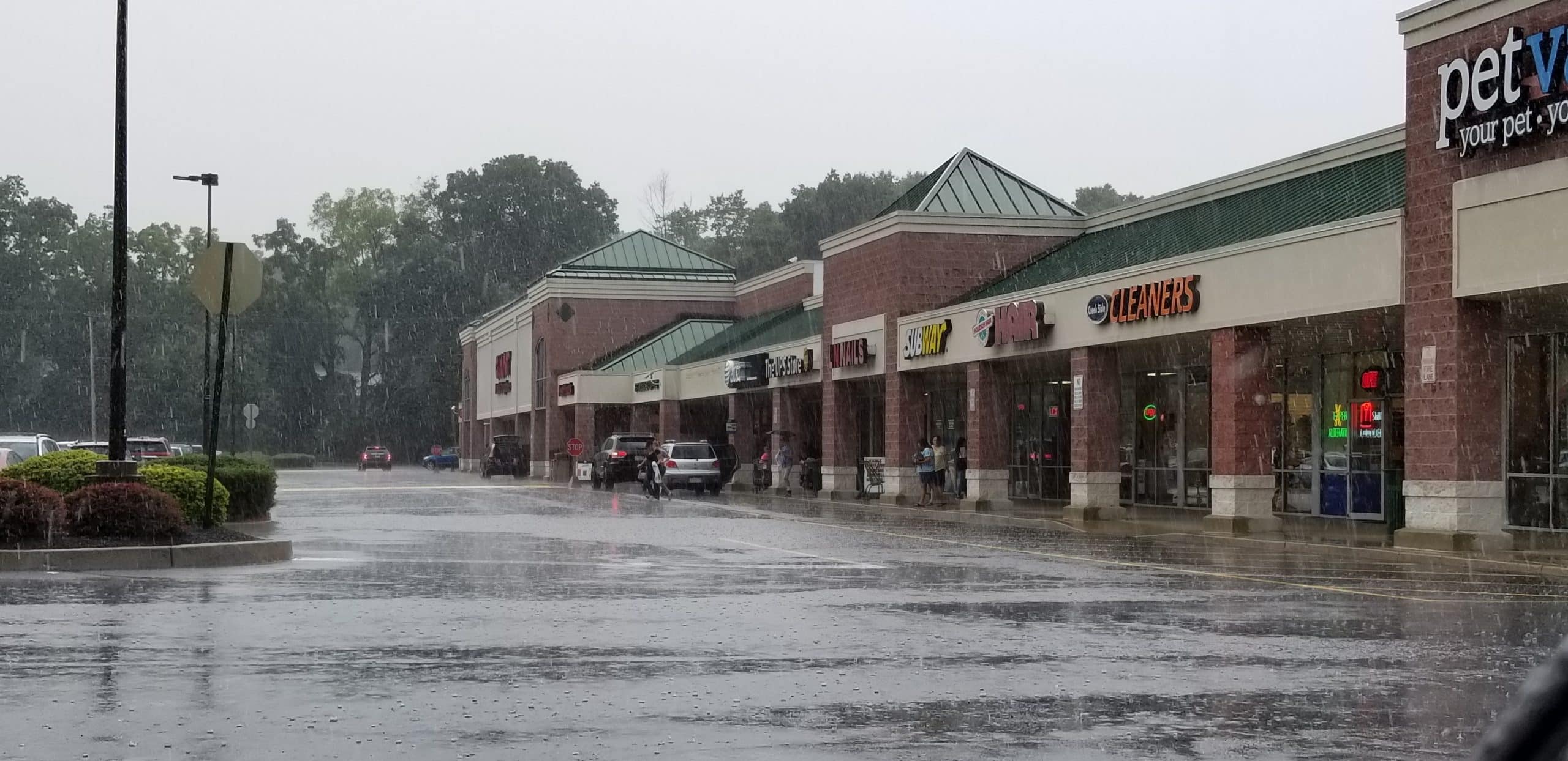
The skies opened up and unleashed a deluge on the Saucon Valley and Southern Lehigh areas Saturday afternoon, prompting the National Weather Service to issue a flash flood warning that is in effect until 6 p.m. The earlier flash food warning that was in effect until 4:30 p.m. has been extended.
“At 1:57 p.m., Doppler radar indicated thunderstorms producing heavy rain across the southern Lehigh Valley around the Allentown, Bethlehem and Easton areas,” the NWS said in its warning statement. “Rain was falling at a rate of one to two inches per hours in a few spots. This will cause flash flooding in the urban areas.”
An additional 2 inches of rain is possible from this round of storms the NWS said, adding that “torrential rainfall is occurring with these storms, and may cause localized flooding.”
“Do not drive your vehicle through flooded roadways,” the weather service warned.
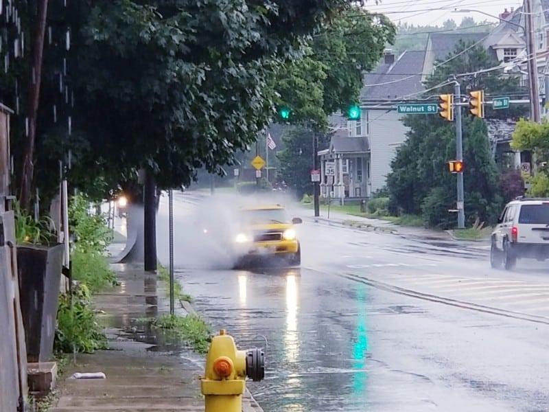
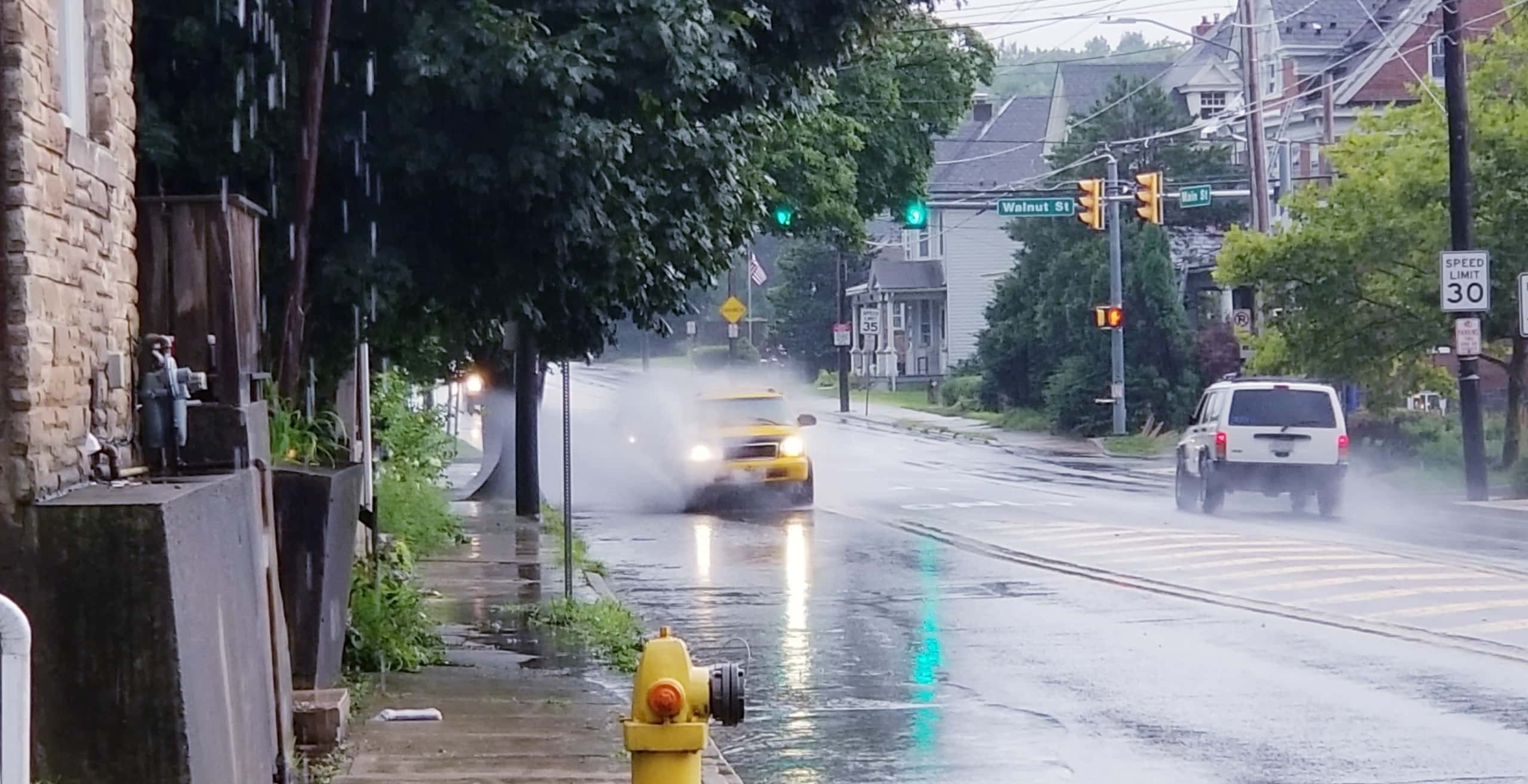
Photos posted on Facebook by Mark Panek show serious flooding occurring at Lower Saucon and Easton roads in eastern Lower Saucon Township.
%CODE2%
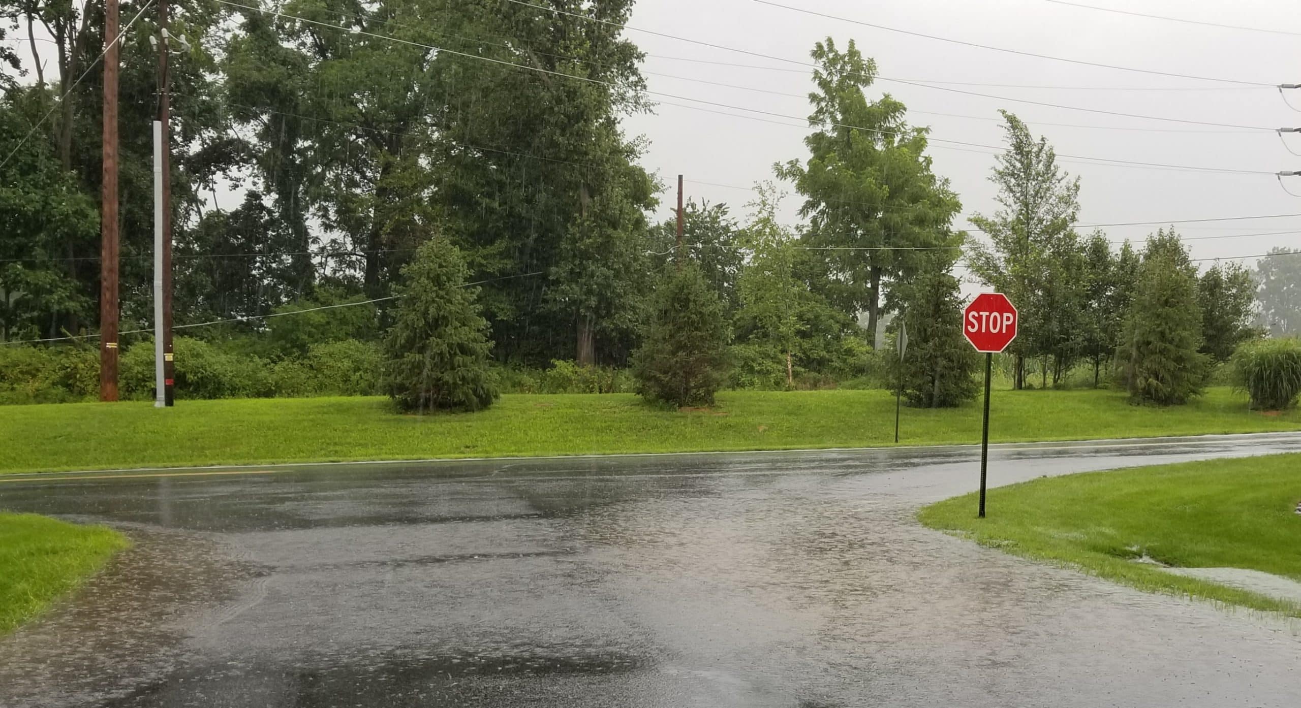
With the ground already saturated or nearly saturated from abundant rainfall so far this month, storm water runoff is resulting in ponding in areas of poor drainage along a number roadways throughout the Saucon Valley area, which could result in vehicles hydroplaning.
Creeks and streams are running high, but as of 3 p.m. there were no reports of flooding due to waterways overspilling their banks.

Weather radar at that hour showed a line of intense thunderstorms producing very heavy rain, roughly parallel with South Mountain and moving northeast at about 20 mph.
The line is expanding and extends southwest to northeast, from around Pottstown, Montgomery County, through southern Lehigh and Northampton counties and into northwestern New Jersey.
Radar shows more heavy showers and thunderstorms blossoming all throughout eastern Pennsylvania.
“These storms may intensify, so be certain to monitor local radio stations and available television stations for additional information and possible warnings from the National Weather Service,” the National Weather Service advised area residents.
A flood warning means flooding is occuring or is imminent.
Are you seeing flooding in your area? If it is safe for you to take a photo of it, please share it on our Facebook page.

Author