
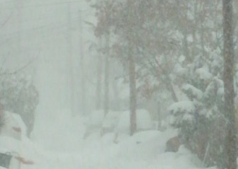
After disagreement Tuesday among the atmospheric models meteorologists use to predict when (or if) a snowstorm will affect the Saucon Valley area, the consensus is again that a significant winter weather event will occur this weekend.
Do you think a much-hyped snowstorm will materialize this weekend?
But the details–including when the snow will start to fall and how much Hellertown residents can expect to measure–are far less clear.
In a hazardous weather outlook issued Wednesday morning, the National Weather Service at Mount Holly, N.J., stated somewhat cryptically that there is “high confidence” that a major winter storm will affect parts of the Mid-Atlantic region late Friday night through Saturday night, “but lower confidence in the details.”
“Accumulating snow is expected, however the northern extent of the accumulating snow is less certain,” the NWS statement said. “It does appear though (that) the heavier amounts may be closer to the Interstate 95 corridor.”
The agency has issued blizzard watches for the Washington, D.C. and Baltimore, where it said “snowfall (totals) may approach two feet.”
“Farther north, there is uncertainty in snowfall for the New York City-to-Boston corridor,” the NWS said.
Additional local forecast information is expected to be issued by the NWS at 4 p.m.
Early Wednesday afternoon, the Eastern Pennsylvania Weather Authority activated “Storm Mode” on its Facebook page, which has more than 230,000 followers.
“Storm mode means that we will not be addressing individual questions on the page and we have gone into our alerts process for a storm that looks likely to affect the region this weekend,” a post on the page said.
On the EPAWA website, in the Daily Forecast Discussion for the east central Pennsylvania region, meteorologist/owner Bobby Martrich said “it is still too early to make a call with exact ranges/amounts, which will be track dependent…but models are honing in on a significant, or perhaps major snowfall for someone in the coverage area. The heaviest axis of snow may end up farther southeast of this forecast region, but we will have a better idea of what to expect later today.”
Channel 69 News meteorologists published a chart earlier in the day that broke down the probability of a weekend snow event in the Lehigh Valley as follows:
- Nuisance Event (1-3 inches of snow) – 5 percent chance
- Minor Event (3-6 inches of snow) – 20 percent chance
- Moderate Event (6-12 inches of snow) – 40 percent chance
- Major Event (more than a foot of snow) – 35 percent chance
In its current forecast for Hellertown, the NWS says there’s a 90 percent chance of snow Friday night, mainly after 7 p.m., and a 90 percent chance of snow Saturday.
The final home wrestling meet at Saucon Valley High School was originally scheduled to be held Saturday morning, but has been rescheduled for Thursday evening starting at 6 p.m. (JV) and 6:30 p.m. (varsity). For information and updates follow @SauconAthletics on Twitter.
In the event of storm-related closures and cancellations, Saucon Source will make every effort to relay that information to readers with assistance from local officials.
RELATED:
Hellertown Borough Issues Snow Removal Reminders for Residents


