Hellertown Borough Declares Snow Emergency in Advance of Storm
In advance of a storm that’s forecast to bring a mix of wintry precipitation to the area Saturday and Sunday, Hellertown borough officials on Friday declared a snow emergency that will take effect at noon on Saturday, and remain in effect until further notice.

Update, Jan. 18, 4 pm: The National Weather Service has issued a winter storm warning for the Lehigh Valley, which replaces the winter storm watch. The winter storm warning is in effect from 1 p.m. Saturday to 1 p.m. Sunday, when heavy mixed precipitation is expected, including 5 to 11 inches of snow and up to one tenth of an inch of ice, according to the NWS. “Travel will be very difficult on icy and snow- covered roads,” the warning statement said. “Power outages will also be possible due to a combination of strong winds and ice accretions. Finally, bitter cold wind chills can be expected late Sunday into Monday as temperatures rapidly drop behind the system.”
In advance of a storm that’s forecast to bring a mix of wintry precipitation to the area Saturday and Sunday, Hellertown borough officials on Friday declared a snow emergency that will take effect at noon on Saturday, and remain in effect until further notice.
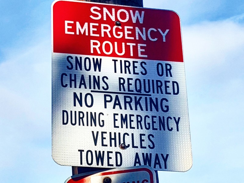
Vehicles parked on designated snow emergency routes will be towed after 1 p.m., the borough said in a statement.
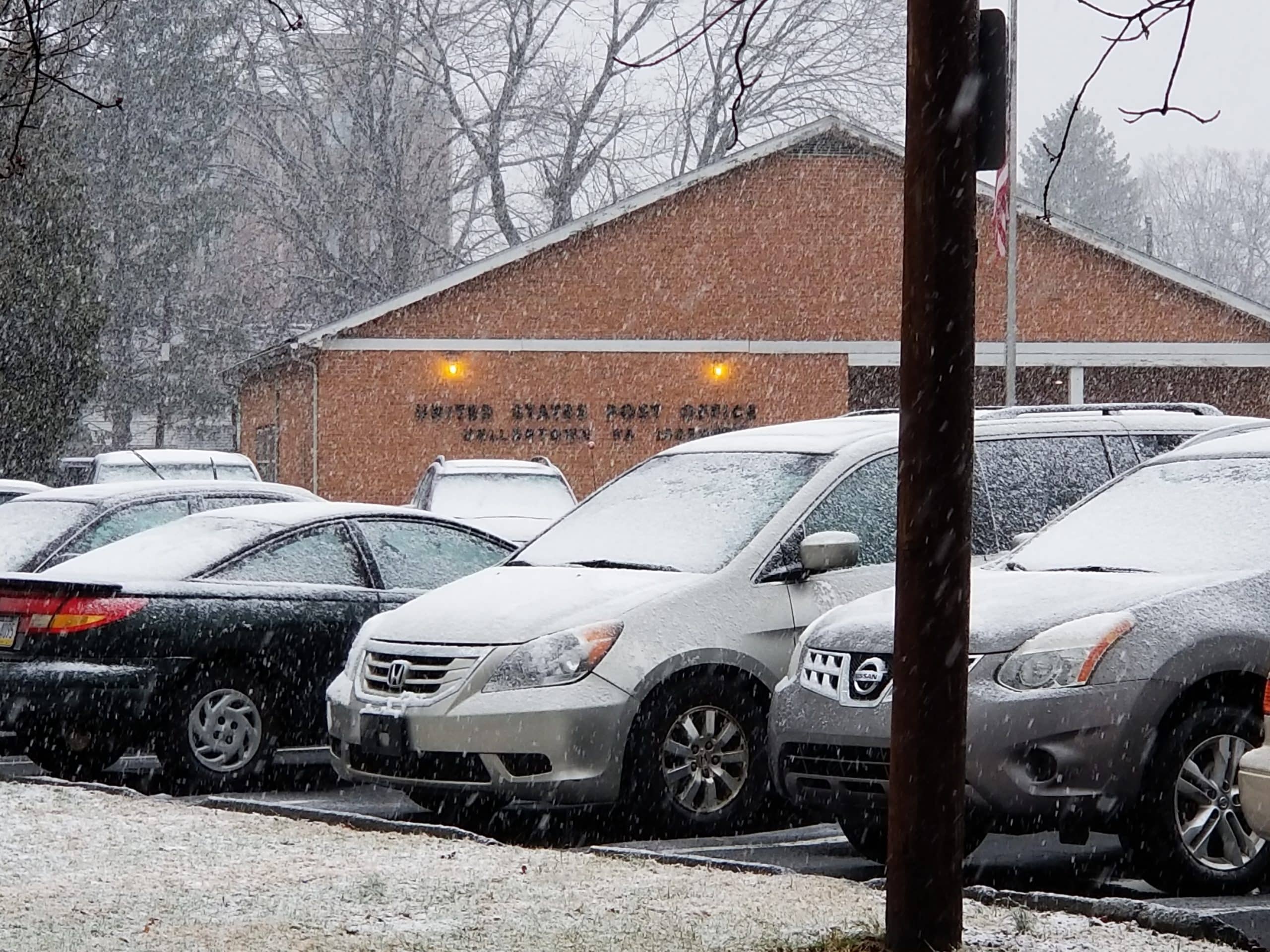
Temporary off-street parking is available at the Dimmick Park, Water Street Park, Tobias Drive and Post Office lots for residents who need it. Cars must be removed from those lots within 24 hours after a weather event ends.
Residents on secondary, non-emergency routes are requested by the borough to make every attempt to remove their vehicles from the street or work with their neighbors to park all vehicles on one side of the street.
“Do not park within 15 feet of an intersection or 20 feet of a stop sign,” the statement reminded residents. “This will allow our plows to more thoroughly remove snow from the street and intersection.”
Borough manager Cathy Hartranft said that if Monday’s garbage collection is delayed due to the wintry weather, that will be announced Sunday.
Residents are also being reminded to shovel snow and remove ice from around fire hydrants if their home or property is next to one. A perimeter of about three feet should be maintained around each hydrant, and there should also be a path shoveled between the hydrant and the street.
All property owners are required to clear snow and ice from sidewalks adjacent to their property within 24 hours of a snow event.
For more information about the borough’s snow removal ordinance, refer to the Borough Code of Ordinances, Chapter 385, Art. I, Snow and Ice Removal.
“Be advised (that) Chapter 385, Article I, Snow and Ice Removal, will be enforced,” the borough said in its announcement of the snow emergency.
“Please be a good neighbor by keeping sidewalks, driveway entrances and fire hydrants safe from snow and ice,” the email also stated. “You could also offer to help those in your neighborhood who may not be able to shovel their own sidewalks.”
To register for borough email alerts and updates about the storm, click here. Also follow the Borough of Hellertown on Facebook.
To register for Lower Saucon Township emergency alerts, click here, and click here to like and follow the township on Facebook.
As of Friday afternoon the township had not declared a snow emergency, but if/when it does its impact on parking in the township will be minimal, since relatively few parts of Lower Saucon Township have on-street parking. The residents most affected will be those who live on cul-de-sacs.
As of Friday afternoon, the entire Lehigh Valley as well as Upper Bucks and Upper Montgomery counties remain under a winter storm watch issued by the National Weather Service for 1 p.m. Saturday through 4 p.m. Sunday.
According to the latest National Weather Service forecast 6 to 8 inches of snow are expected along with ice, which could accumulate .07 inches on Sunday, causing power outages. There is also a significant threat of a flash freeze later on Sunday, when temperatures are forecast to drop nearly 30 degrees in just a few hours, as a result of a rapid invasion of Arctic air.
“Sunday late morning and afternoon, a rapid temperature drop will lead to a hard freeze of any areas of slush and standing water, even for areas that received little to no snowfall,” the National Weather Service at Mount Holly said in its Friday morning weather briefing on the storm. “This will lead to very icy conditions Sunday evening and overnight. Bitterly cold air will make clearing snow and ice very difficult.”
Continue to follow Saucon Source for updates on this winter storm by following us on Facebook and Instagram, and subscribing to our email newsletter.
Author