The Lehigh Valley is expected to be on the northwestern fringe of a major winter storm weather forecasters believe will blow up along the Eastern seaboard Friday night, but locally, travel conditions may still become hazardous.
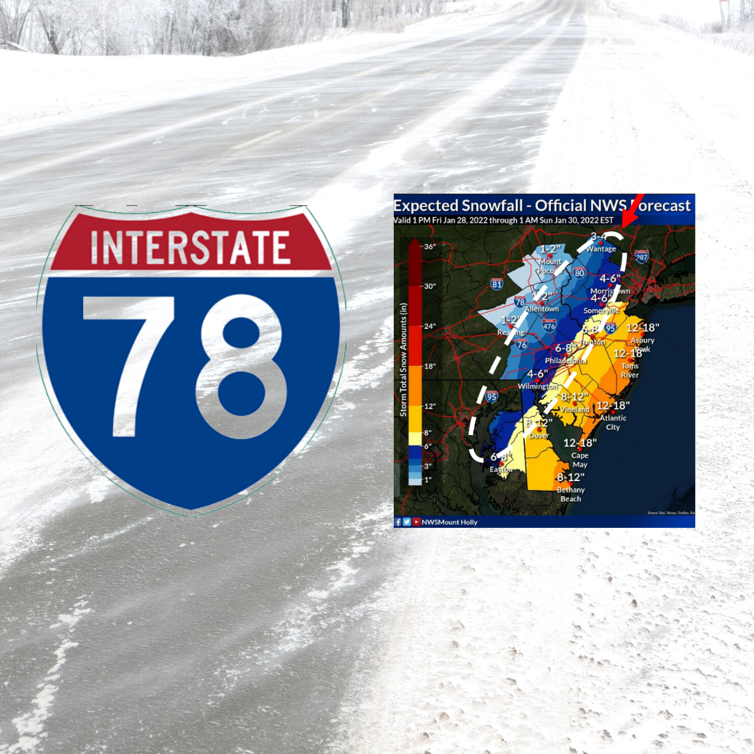
In advance of the Nor’easter, PennDOT officials have announced the enforcement of Tier 3 and 4 vehicle restrictions on a number of highways in east central and southeastern Pennsylvania, including I-78 between I-476 (the Pennsylvania Turnpike’s Northeast Extension) and the New Jersey state line.
With Tier 3 restrictions in place, no commercial vehicles are permitted on restricted roadways except loaded single trailers with chains or approved Alternate Traction Devices. Additionally, all school buses, commercial buses, motor coaches, motorcycles, RVs, motorhomes and passenger vehicles towing trailers are not permitted on affected roadways while the restrictions are in place.
Roads on which Tier 3 restrictions will take effect at either 5 or 8 p.m. Friday include I-295 from I-95 to the New Jersey state line (5 p.m.), I-76 (Schuylkill Expressway) from the New Jersey state line to the PA Turnpike (8 p.m.), I-95 from the Delaware state line to New Jersey state line (8 p.m.), I-276 full length (8 p.m.), I-476 from I-95 to I-78 (8 p.m.) and I-676 full length (8 p.m.).
With Tier 4 restrictions in place, no commercial vehicles are permitted on restricted roadways. Additionally, all school buses, commercial buses, motor coaches, motorcycles, RVs, motorhomes and passenger vehicles towing trailers are not permitted on affected roadways while the restrictions are in place.
Beginning at 5 p.m., Tier 4 vehicle restrictions will be in place on I-80 from I-380 to the New Jersey state line and on I-78 from I-476 to the New Jersey state line.
Lehigh and Northampton counties are under a winter weather advisory for 1 to 4 inches of snow and winds of up to 35 mph from 7 p.m. Friday to 3 p.m. Saturday, however further south and east much more snow is being forecast. Philadelphia is under a winter storm warning for 5 to 11 inches of snow, and coastal communities like Cape May, N.J., are under blizzard warnings for 10 to 18 inches of snow and up to 50 mph wind gusts.
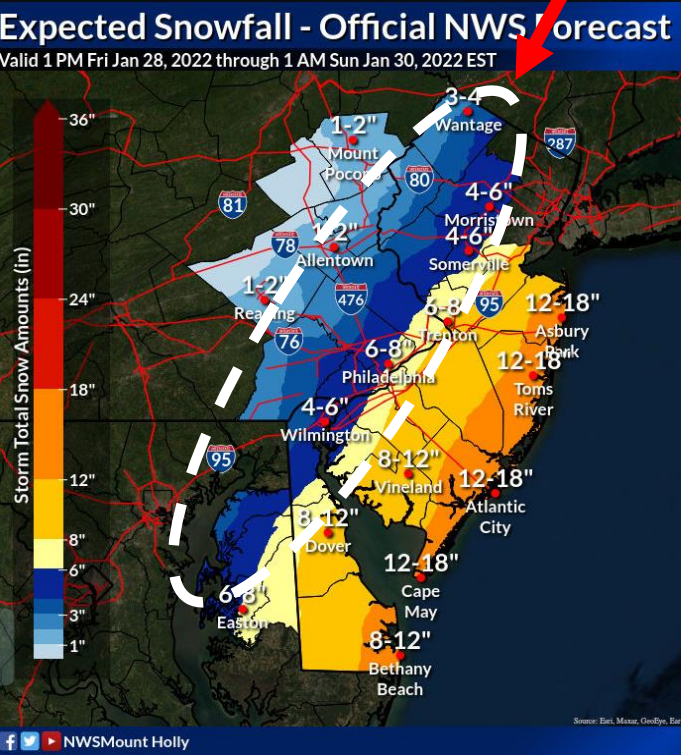
A forecast map created as part of a National Weather Service winter storm briefing Friday shows an “oval area of uncertainty” in which forecasters are particularly unsure about the potential maximum snowfall that residents can expect from the storm. The southern half of Lehigh County and most of Northampton County are within the oval.
With temperatures falling from around freezing into the teens overnight Friday, any precipitation that falls locally will be in the form of snow, and there could be some blowing and drifting of snow, along with slippery roads which will make travel difficult.
A Friday morning forecast presentation for the storm by the National Weather Service office at Mount Holly, N.J., noted that there will likely be a “sharp cutoff” to the snow along its northwestern edge, and that the “northwestern extent of the heaviest snow… remains a bit uncertain.” An updated storm briefing is to be issued by 6 p.m. Friday.
>>VALUE OUR REPORTING? BECOME A SAUCON SOURCE MEMBER TODAY.
PennDOT reminded motorists to allow plenty of space when driving behind or near plow trucks, and never to pass a truck while it is plowing or spreading winter materials.
Officials also reminded motorists to pack an emergency kit for their vehicles, including non-perishable food, water, a blanket, a small shovel and warm clothes. When preparing an emergency kit, motorists should take into account the special needs of passengers if applicable by packing things like baby food, pet supplies and/or medication if necessary.
Lehigh Valley area residents should continue to monitor local media channels and regional weather forecasts for the latest developments on this approaching winter storm.


