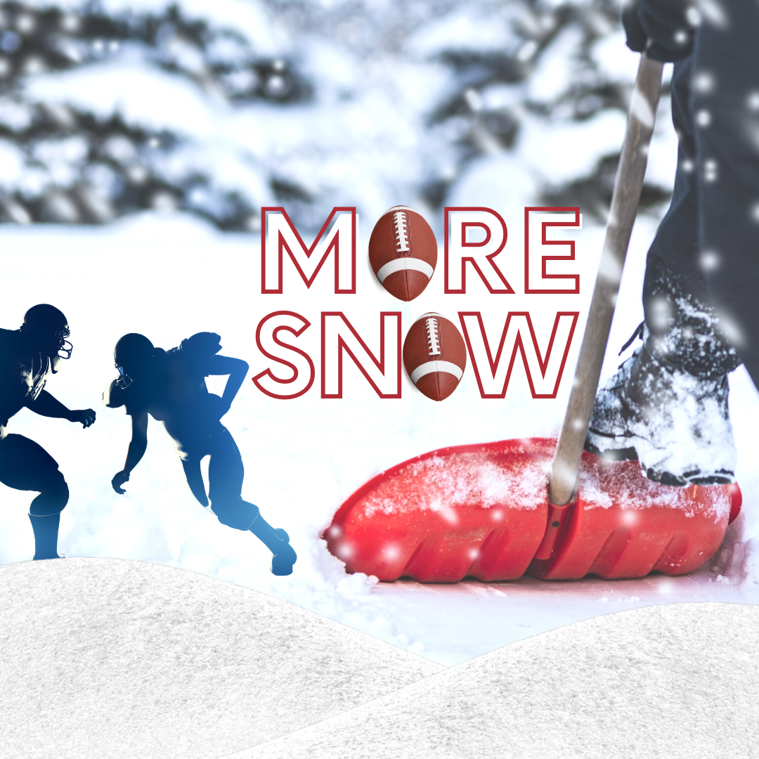
Although nearly as much snow fell earlier this week as normally falls during an entire winter season, weather forecasters say more is headed to the Lehigh Valley.
Fortunately, the snowstorm expected Sunday won’t be anywhere near as severe as the Nor’easter that dumped more than 30 inches on part of the area over two days recently.
The latest forecast from the National Weather Service includes a winter weather advisory for Northampton, Upper Bucks and Lehigh counties for 3 to 5 inches of snow between 4 a.m. and 7 p.m.
“A heavy band of snowfall will overspread the area Sunday morning, with snow continuing into Sunday afternoon,” the advisory said. “Snowfall rates of 1-2 inches an hour will be possible within this heavy band. Snowfall will clear the area from southwest to northeast Sunday afternoon.”
A bit more snow is possible south of the Lehigh Valley, where the NWS has placed Lower Bucks and the rest of the Philadelphia metropolitan area under a winter storm warning for 4 to 7 inches of snow, with higher accumulations possible in isolated locations.
“Travel could be very difficult particularly late Sunday morning and early Sunday afternoon,” the warning statement said.
Judging from the weather Friday and Saturday, it would be difficult to surmise that another round of snow is headed to southeastern Pennsylvania.
Under sunny skies, temperatures have soared well into the 40s both days, which has facilitated melting of some of the snow that fell between Jan. 31 and Feb. 2.
After Sunday, another infusion of cold air is expected to flood the area, with below normal temperatures for much of next week.
The current National Weather Service Forecast for Hellertown calls for daily highs at or below freezing from Sunday to Friday, except Tuesday, when there is a 50 percent chance of snow followed by a rain/snow mix.
In a first call forecast published Friday, Josh Adams of PA Weather Action predicted that southern parts of Lehigh and Northampton counties will see 3 to 6 inches with local amounts of up to 8 inches from the Super Bowl Sunday storm, while northern parts of the Lehigh Valley will generally see 1 to 3 inches with local amounts of up to 5 inches.
In a typical year, the snow threat would have serious economic consequences for many businesses–such as restaurants and sports bars–that host parties on Super Bowl Sunday. Due to the COVID-19 pandemic, however, fewer are opting to do so for fear that crowds of raucous football fans could contribute to potential superspreader events. Public health officials have also warned against individuals hosting Super Bowl parties in their homes, during which the coronavirus could spread among guests who are likely to be consuming alcohol, shouting, chanting and foregoing the use of masks and physical distancing.
The timing of a snowstorm on Super Bowl Sunday may actually work to the advantage of public health officials, who have expressed concerns about the potential for the coronavirus to spread in bars, restaurants and at parties where people will be gathered together in close quarters to watch the big game. If the storm is bad enough, more people may decide to stay home.