‘Life-Threatening’ Flooding Under Way in Northampton, Lehigh Cos.
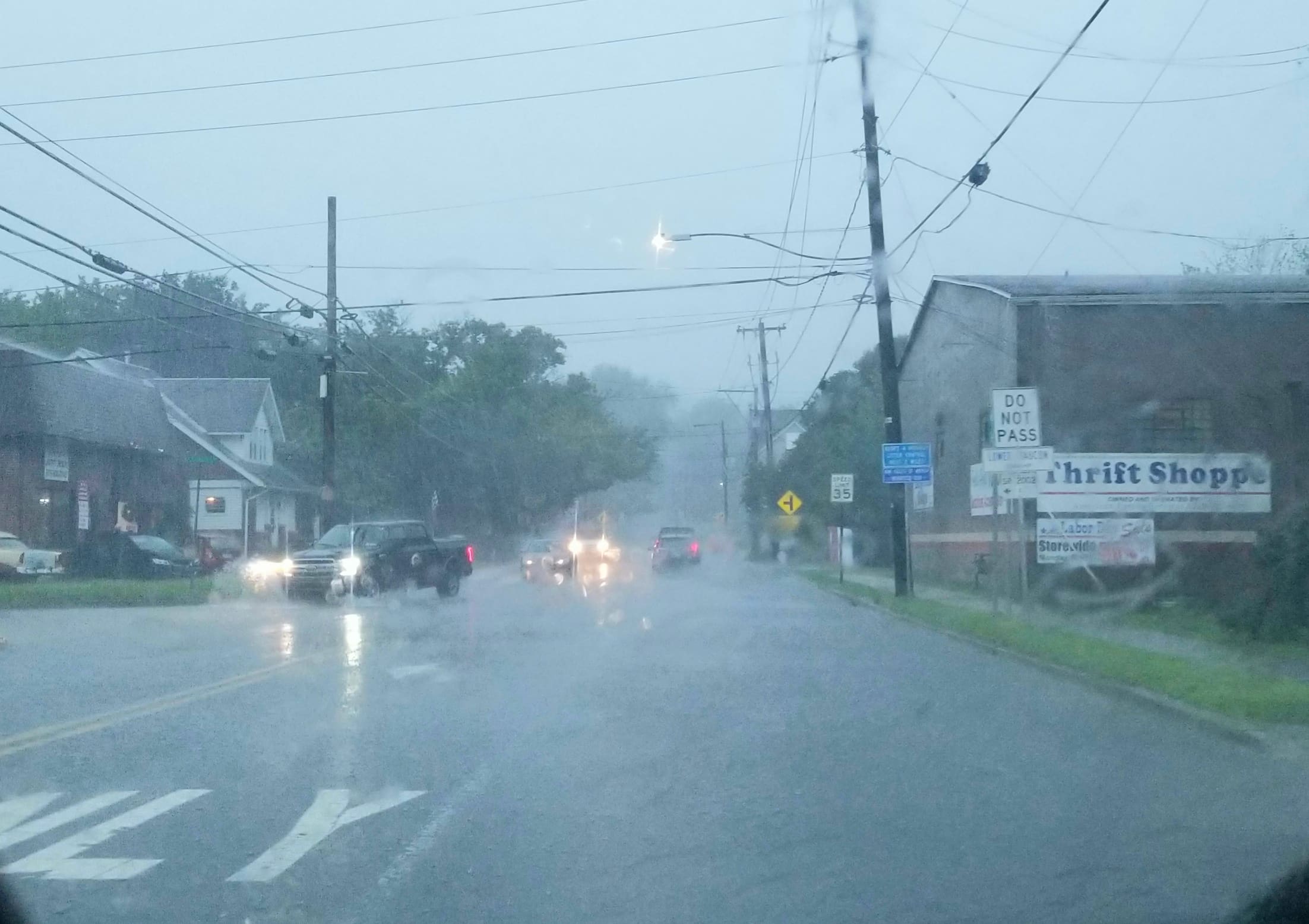
As the remnants of Hurricane Ida pressed eastward across Pennsylvania Wednesday afternoon, rainfall rates steadily increased across the Lehigh Valley, prompting the National Weather Service to issue a flash flood warning for Northampton, Lehigh, Bucks and Montgomery counties, along with parts of surrounding counties.
As the remnants of Hurricane Ida pressed slowly eastward across Pennsylvania Wednesday afternoon, rainfall rates steadily increased across the Lehigh Valley, prompting the National Weather Service to issue and update a flash flood warning for Northampton, Lehigh, Bucks and Montgomery counties, along with parts of surrounding counties.
The warning was first issued by the NWS office at Mt. Holly around 4:15 p.m., when it said “flash flooding is ongoing or expected to begin shortly” in the warned areas.
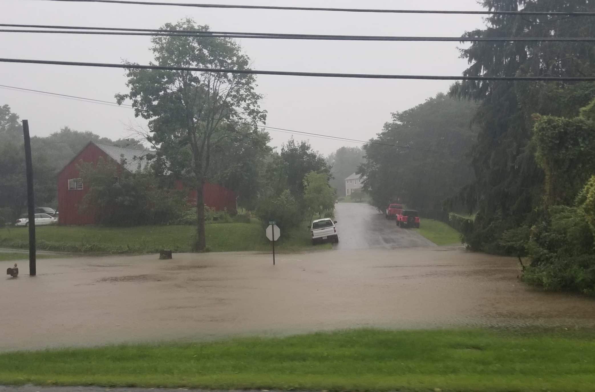
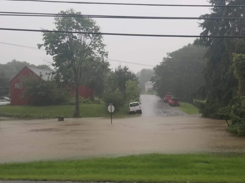
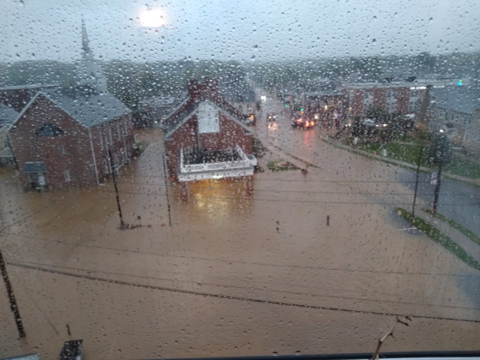
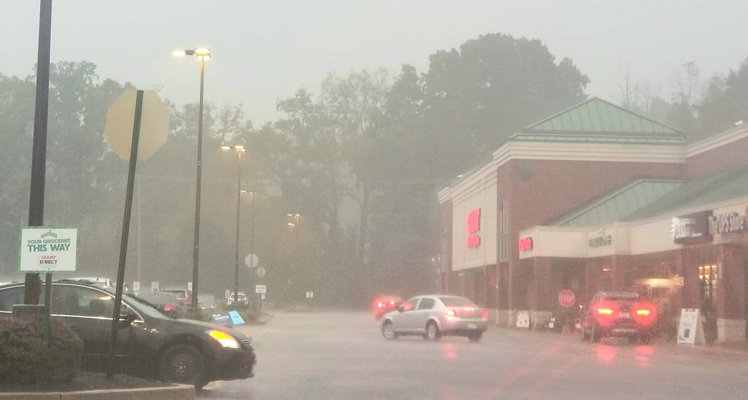
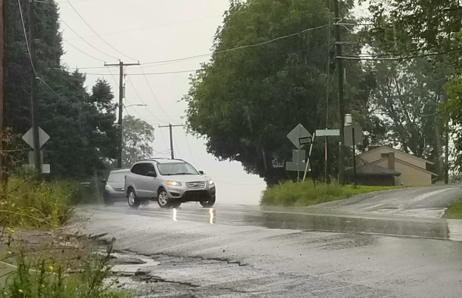
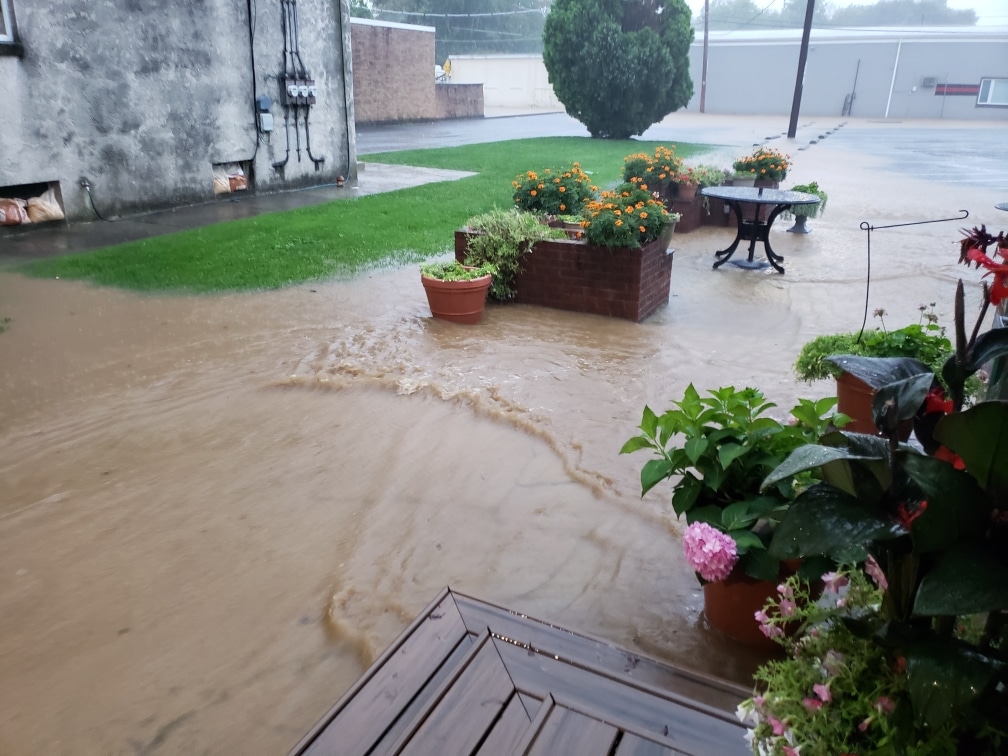
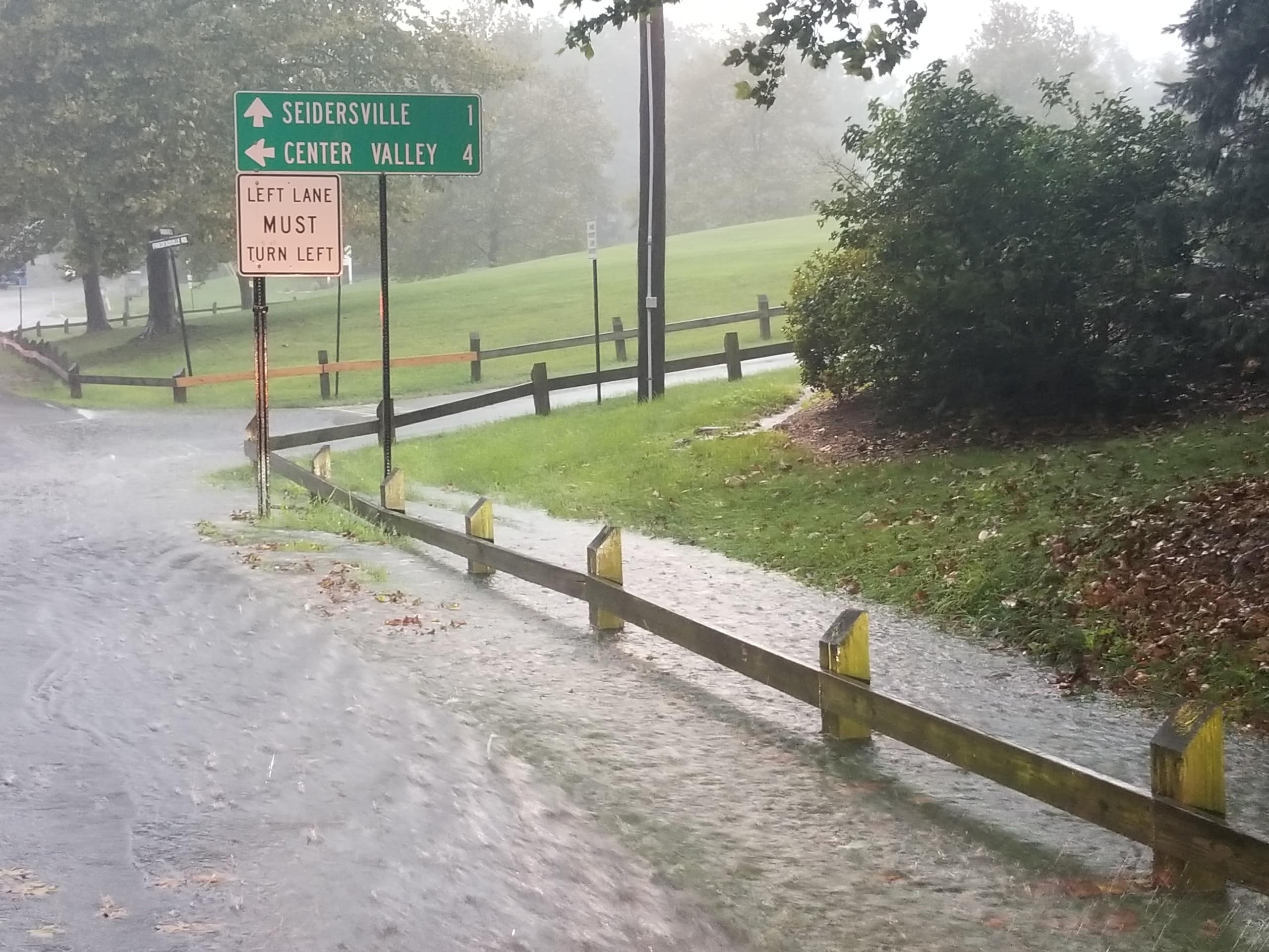
By around 5:15 p.m. there was standing water on lower Main Street and many other roads in Hellertown borough, Lower Saucon Township and beyond. The water in some cases prompted drivers to reduce their speed, which was happening at the flood-prone intersection of Main Street and Polk Valley Road on the border of the two municipalities.
Lower Saucon Township Police issued a statement around 5:30 p.m. in which they asked residents to stay home “unless you absolutely need to be out.”

The flash flood warning–initially in effect until 8:15 p.m.–was extended to 11 p.m. shortly before 6 o’clock, when the National Weather Service confirmed that “life-threatening…flash flooding is already occurring” in the Lehigh Valley area and beyond.
Some events scheduled for Wednesday evening were canceled or postponed because of the rainstorm and the potential for flooding to occur.
A Lower Saucon Township Council meeting that was to be held at Town Hall at 6:30 p.m. was postponed until Thursday, Sept. 9, at the same time.
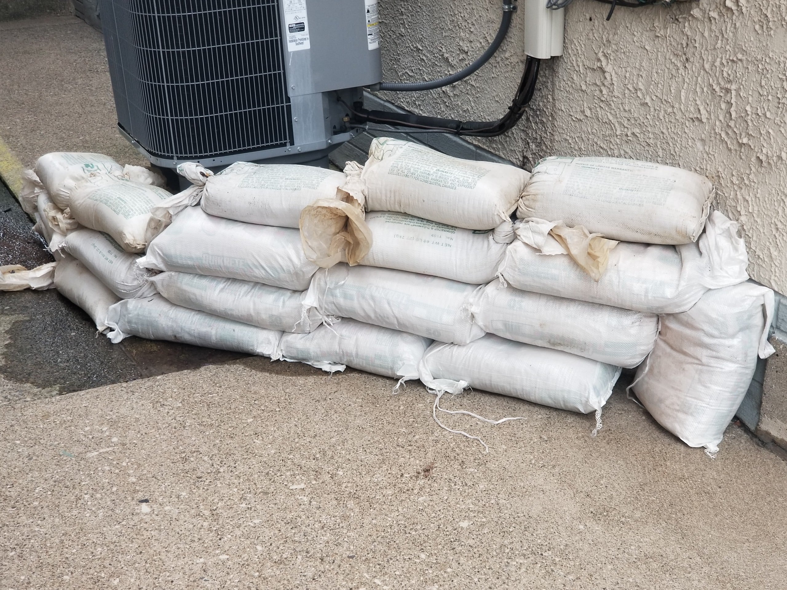
Around Hellertown borough, in historically flood-prone areas like the 600 block of Main Street, some property owners had stacked sandbags in front of doorways and air conditioning units or were keeping them at the ready nearby.
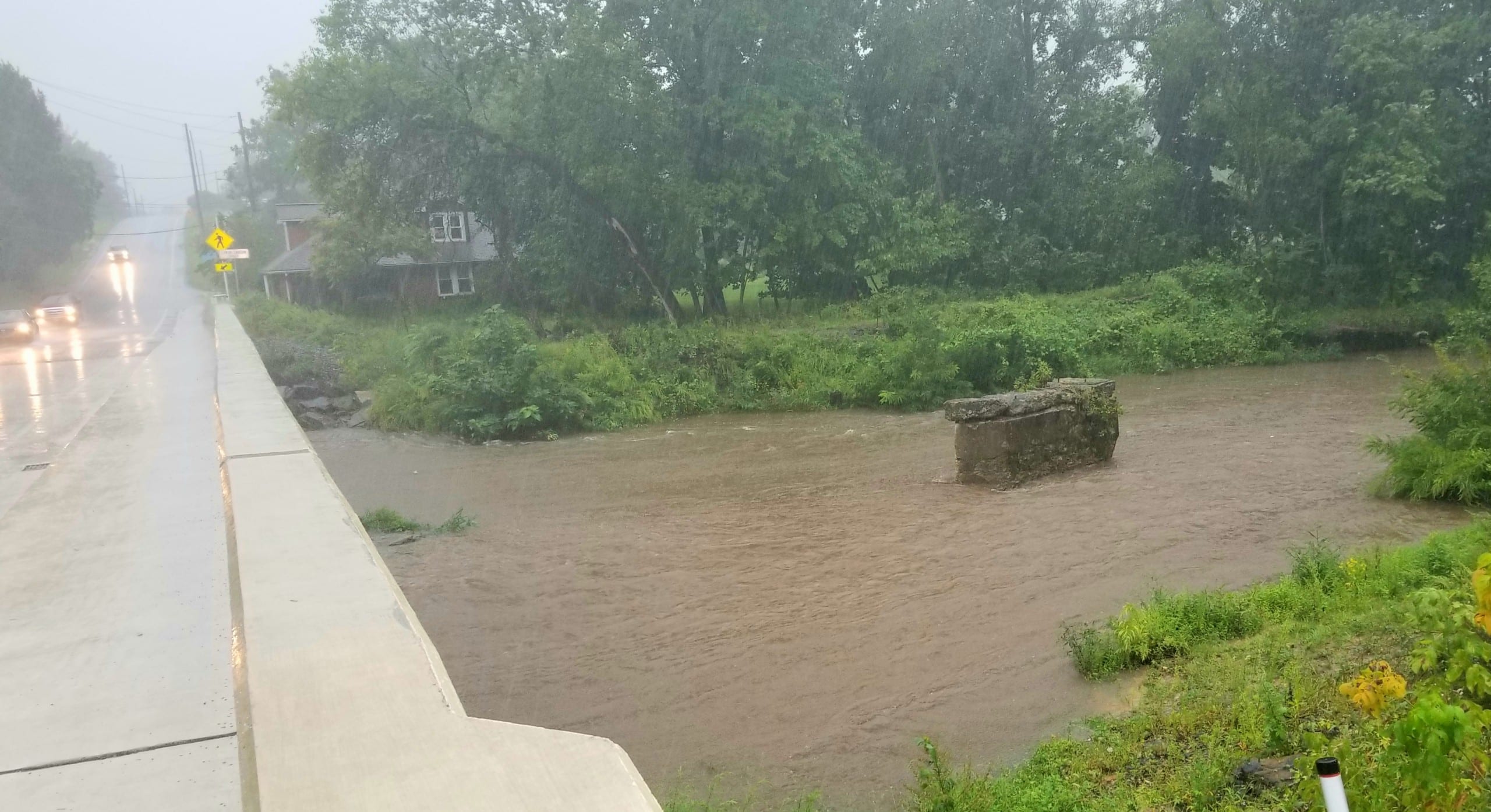
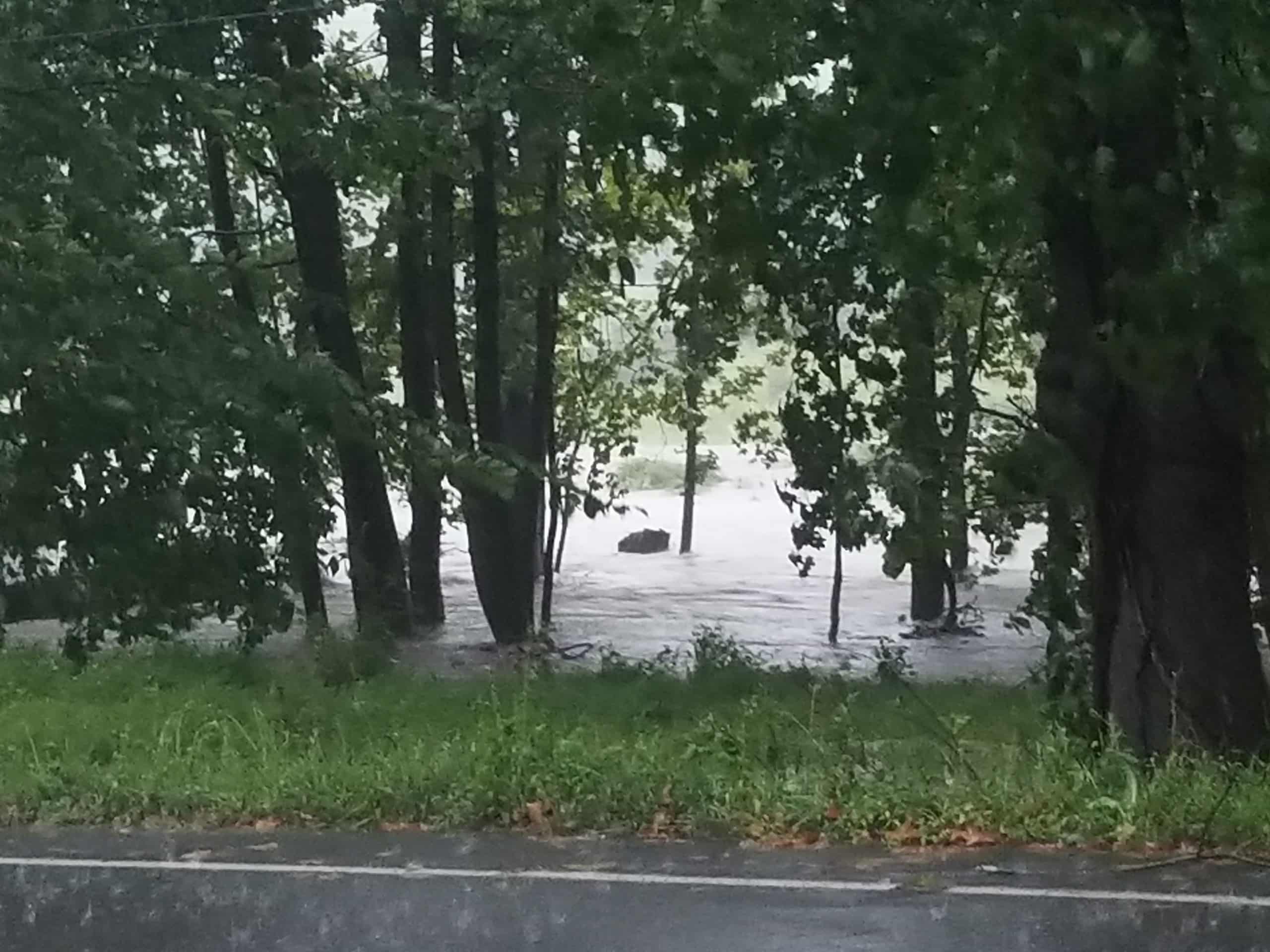
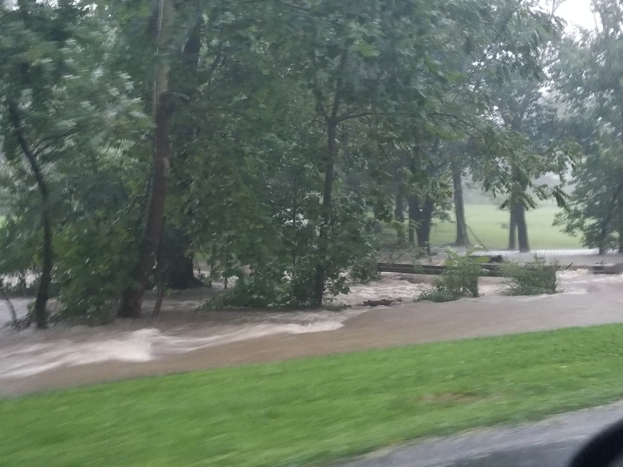
The flooding in that area is caused by the Silver Creek, which is buried under Main Street and passes beneath several adjacent structures, however the nearby Saucon Creek is also prone to flood.
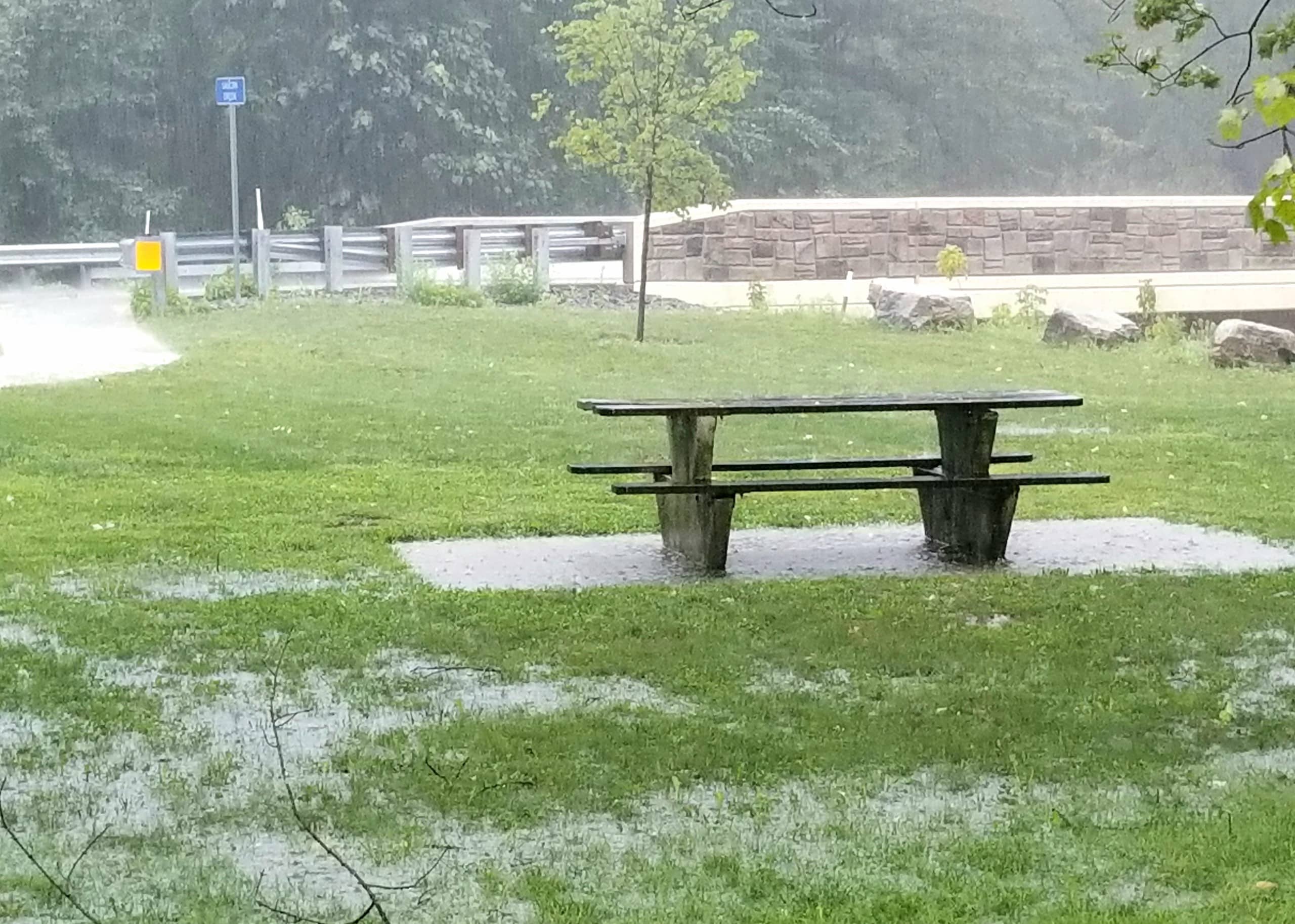
>>Below, video of the creek as it appeared around 5:15 p.m., as very heavy rain fell across the Saucon Valley area.
Meadows Road residents who live near the closed Meadows Road Bridge just south of Hellertown expressed concern Tuesday, after more of the bridge’s north-facing stone wall collapsed into the creek. They said they feared the growing rubble pile would impede the flow of water under the bridge, exacerbating flooding in what is already a vulnerable area.
The National Weather Service is predicting a total of four to six inches of rain from Ida will inundate much of eastern Pennsylvania and northern New Jersey, with higher amounts possible in some locations.
“Numerous instances of flash flooding are likely through predawn Thursday, with some events possibly significant, since the ground is saturated from recent heavy rain events,” it said in a briefing Wednesday morning.
Sustained high winds aren’t in the forecast for Pennsylvania, but there is a slight risk of severe thunderstorms and tornadoes Wednesday evening from Allentown south to the northern suburbs of Philadelphia, where that risk will be higher. A tornado watch for southeastern Pennsylvania issued by the NWS is in effect through 10 p.m. Wednesday.
Only spotty power outages were being reported by PPL as of late Wednesday afternoon.
The NWS also predicted some river flooding in the area, particularly along the Lehigh.
A flood warning has been issued for the Lehigh River at Bethlehem, which as of 3:30 p.m. was at 4.8 feet and forecast to crest three feet above flood stage Thursday morning.
Flood stage for the river at Bethlehem is 16 feet.
At 15.5 feet, Sand Island Recreational Area in Bethlehem is flooded, the National Weather Service warned. In the same statement, the agency compared the forecast crest to a historic crest of 18.7 feet, which it said occurred in Bethlehem on Aug. 24, 1933.
The river is expected to fall below flood stage by Thursday afternoon.
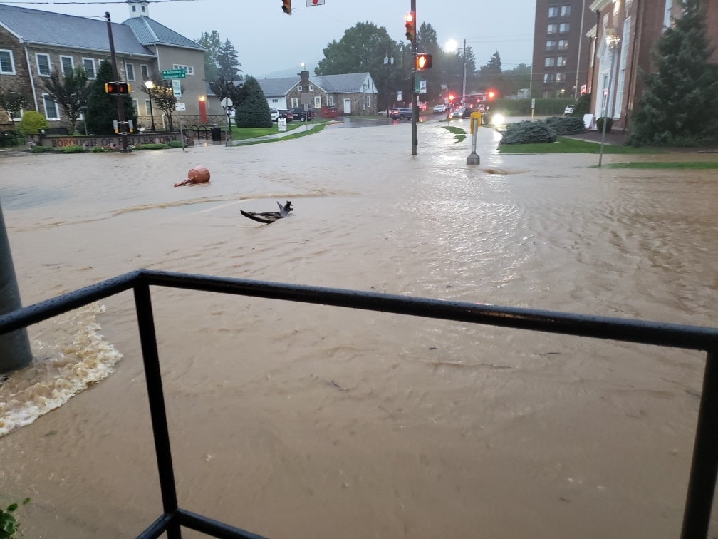
The majority of deaths in flooding events occur when people drive across flooded roadways, and public safety officials continued to remind residents to “turn around, don’t drown” if the encounter standing water while driving.
%CODE217%
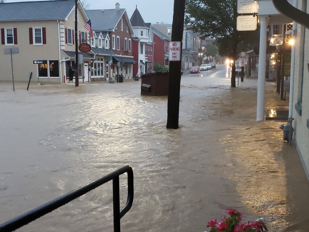
Flooding was also occurring in Springfield Township, Bucks County, as documented by a resident on the social media app Nextdoor.


Author